We have arrived in Caraz, a small town along the Cordillera Blanca, a high mountain range in Peru. The mountain range is part of the larger Andes range and extends for 180 kilometres. It includes 33 peaks over 6,000 metres high and counts 722 individual glaciers.
The plan here is to hike the famous Santa Cruz Trail. In Caraz we find ourselves a small hotel and spend a day for preparation. We rent some larger backpacks, buy trail food for four days, arrange storage for our bikes and organise transport to the beginning of the Santa Cruz Trail.
At the first hiking day we leave our hotel at 6:30 in the morning and take a 3 hour rough ride to Vaqueria. The rest is history... Happy reading again.
With a small collectivo (small public transport bus) we take a ride to Vaqueria where the Santa Cruz Trail starts.
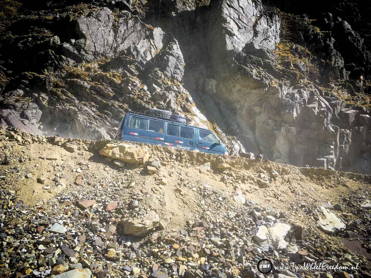
The rough gravel road over a 4700m mountain pass has stunning views.


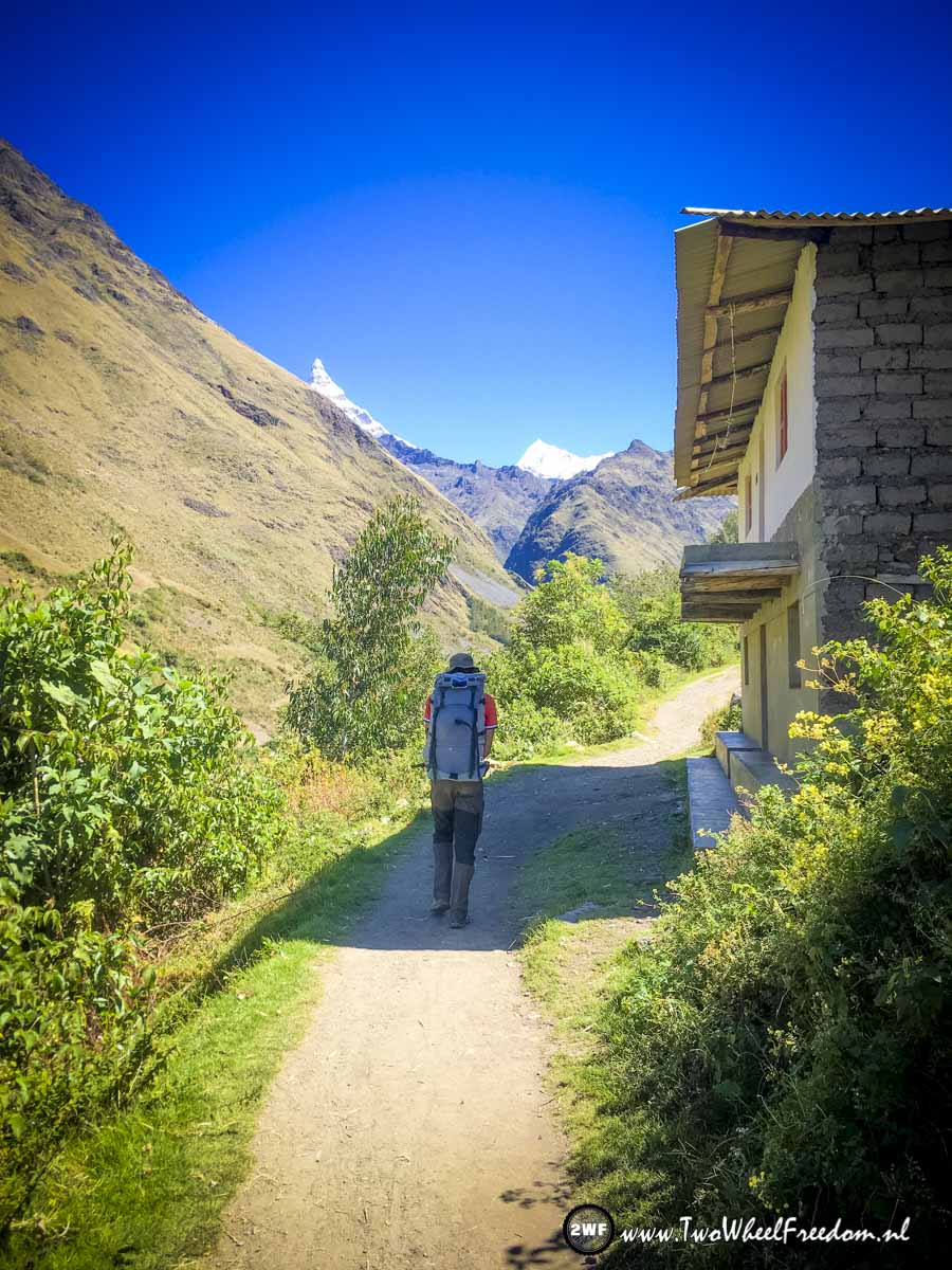
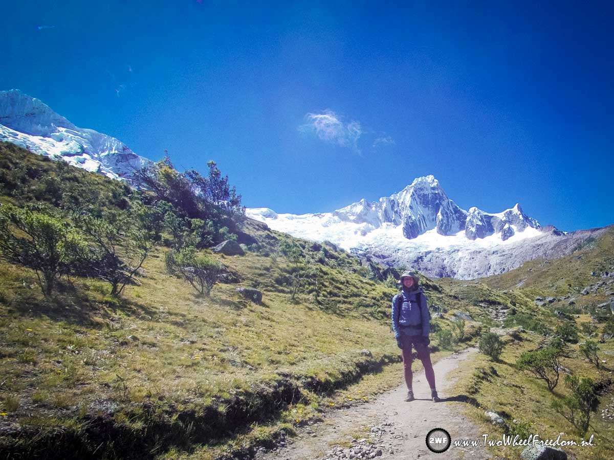
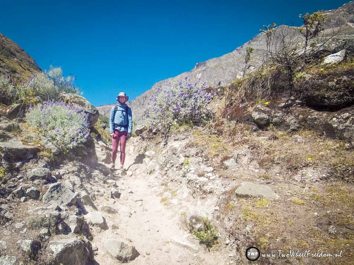
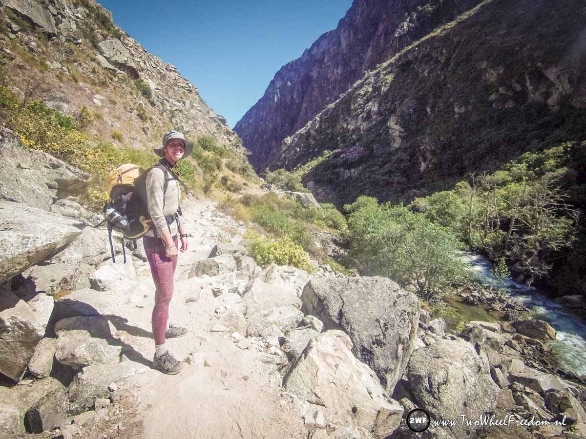
The start of the Santa Cruz Trail at 3750m.
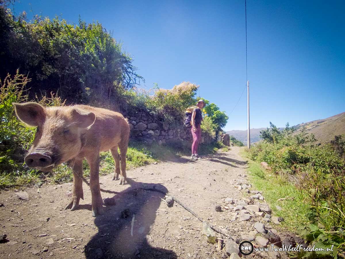
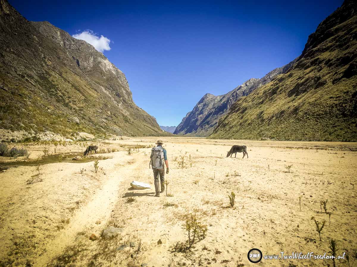
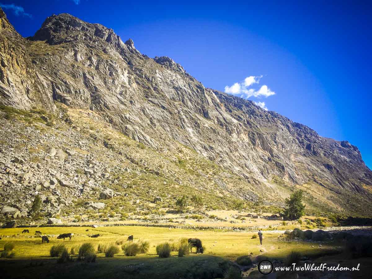
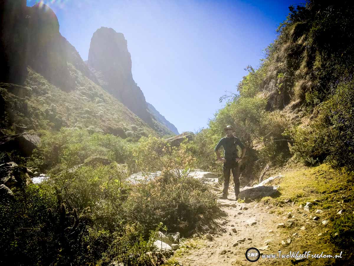
The first part of the track leads between some local farms.
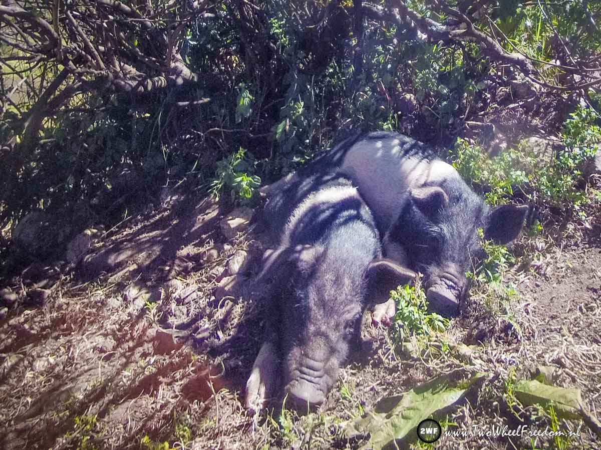
Small piggies 🙂
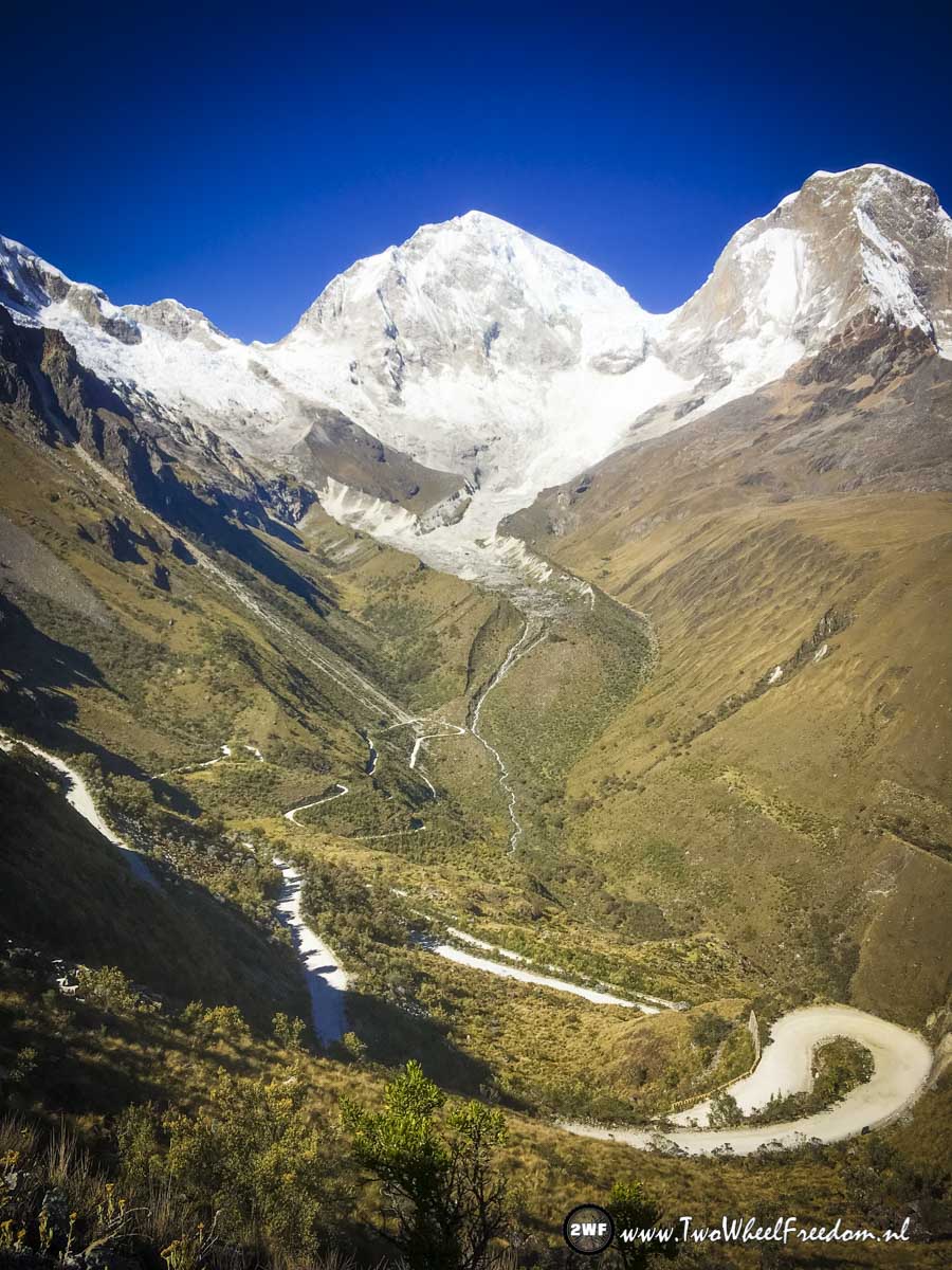
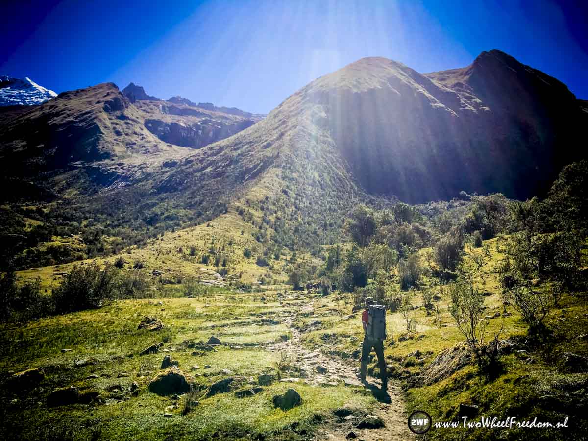
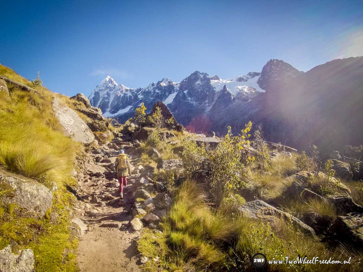
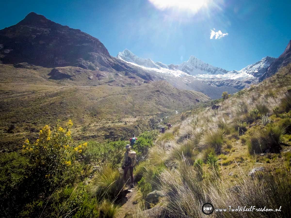
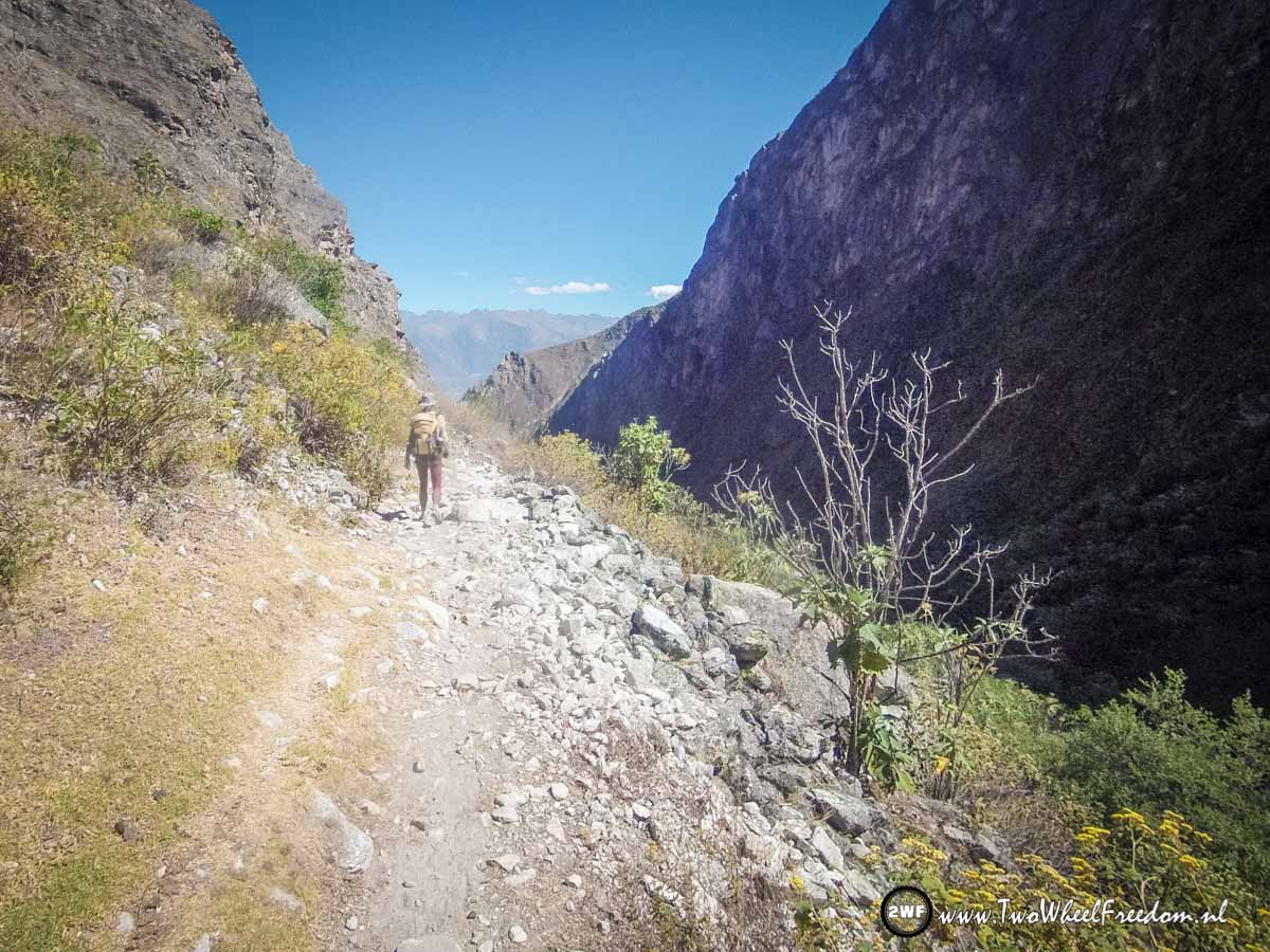
In the distance we already see some snow coming up.

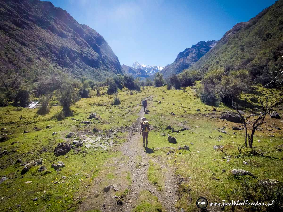
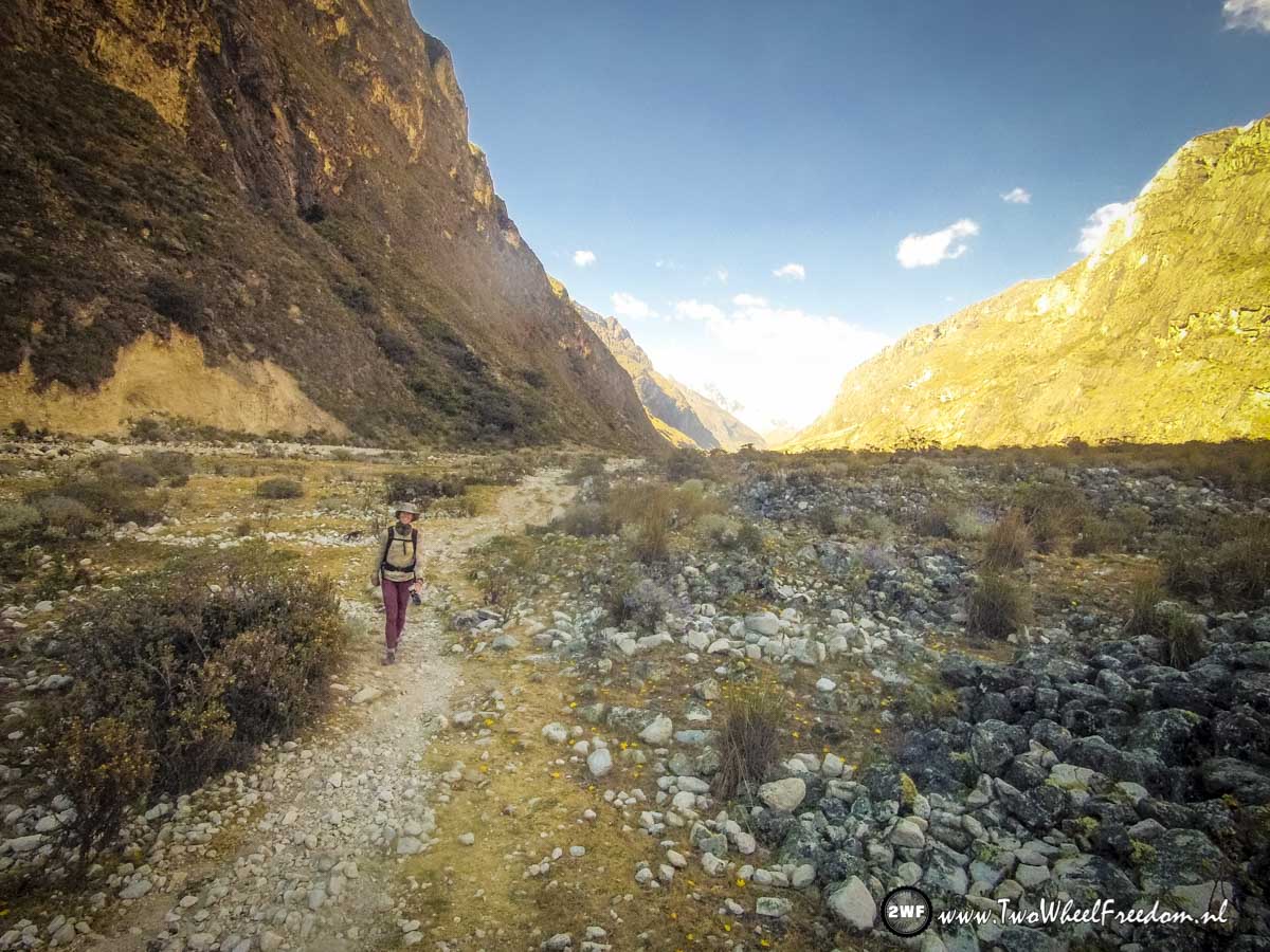
The Santa Cruz Trail is a popular trail so we're not the only once's on the track.
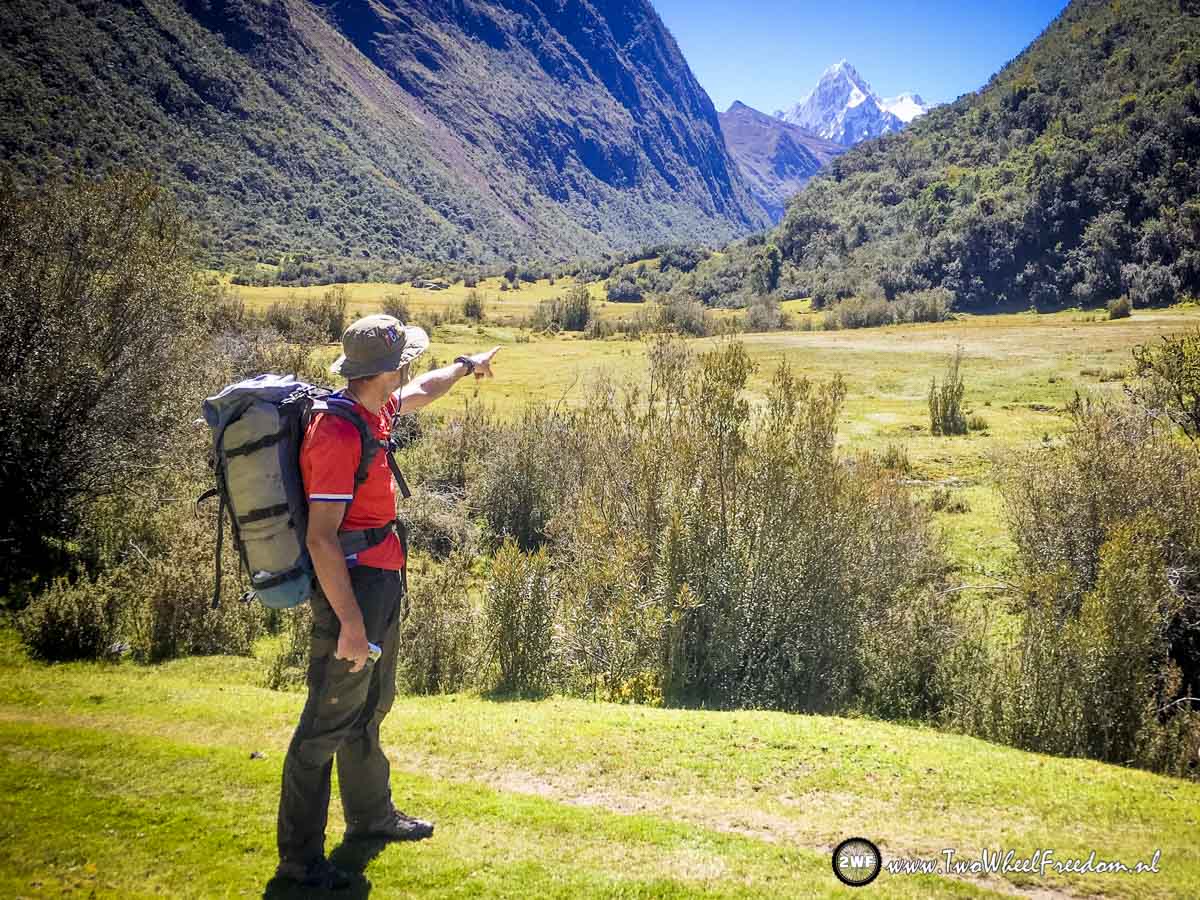
Our direction pointed out.

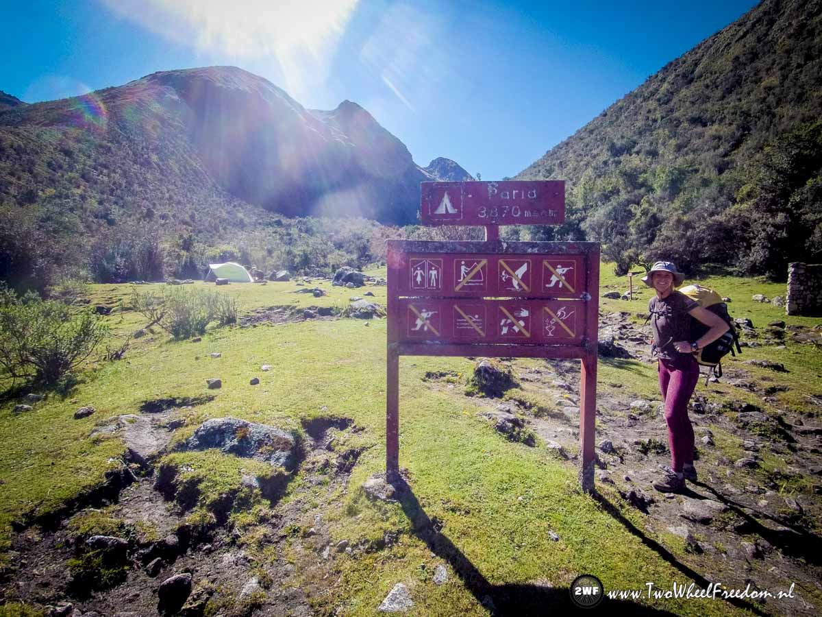
The Paria campground. It's still early in the day so we move on to an other campground.

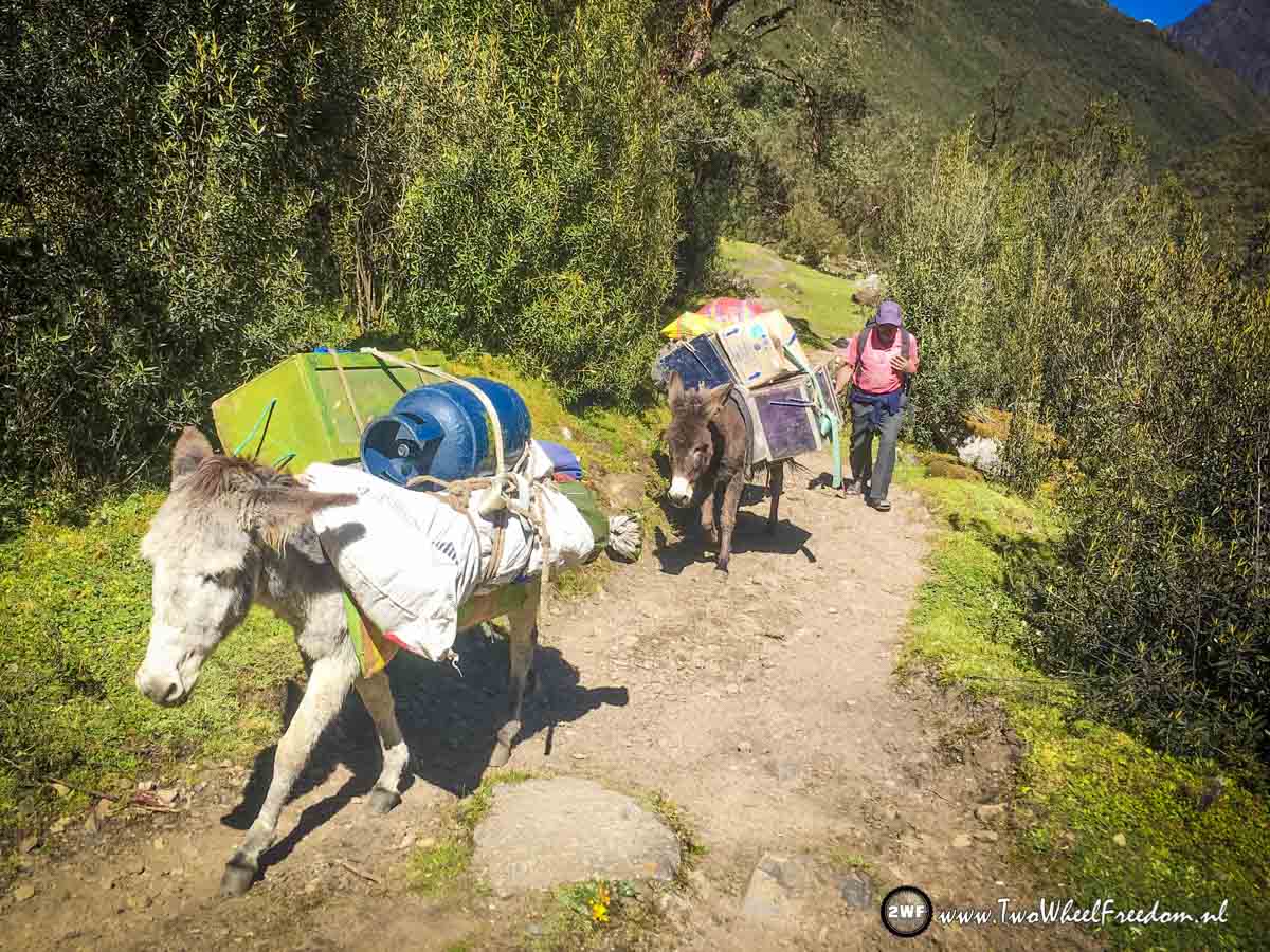
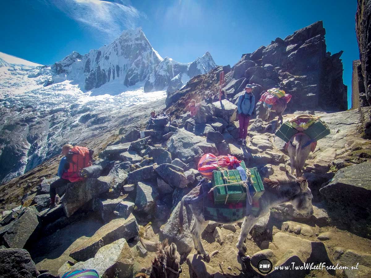
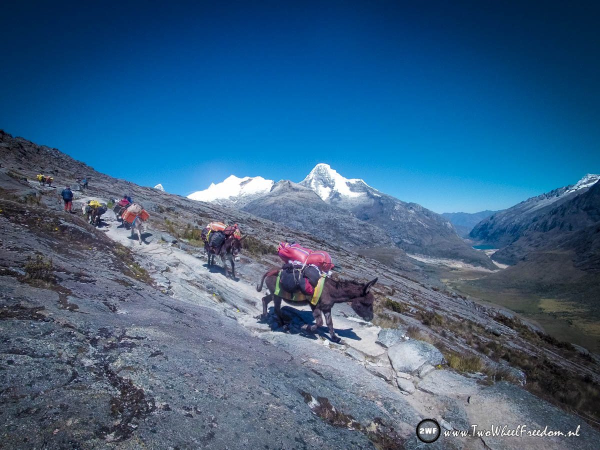
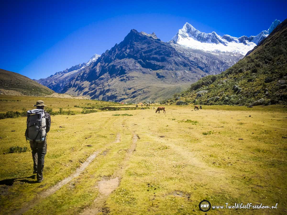
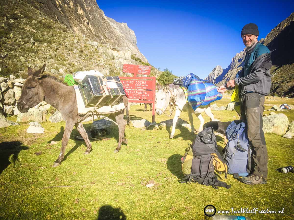
A lot of people also walk the trail in an organised group. They don't have to carry their own luggage, it's carried by donkeys and small horses.
We like to be independent so we walk the trail by ourselves and find our own way.
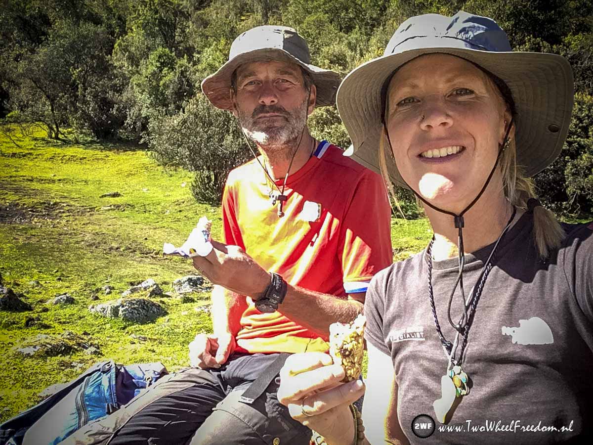
Muesli bars. Hikers food.
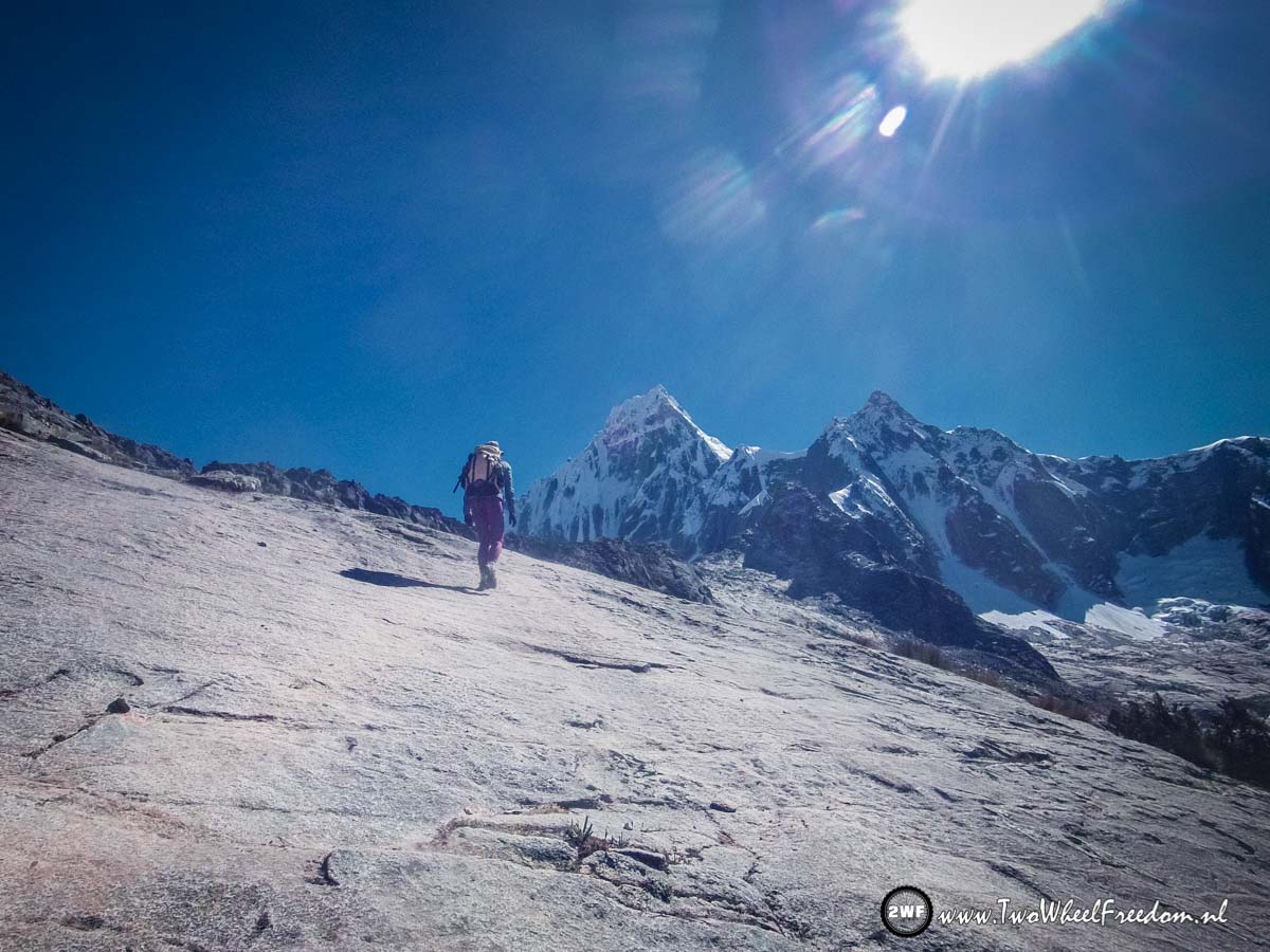
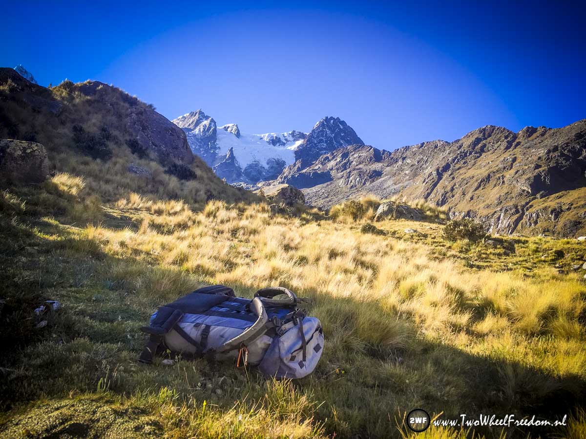
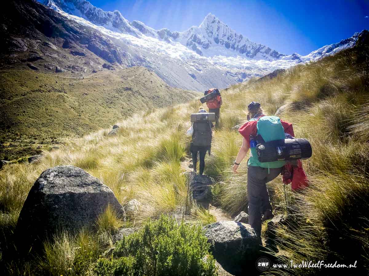
It's climbing all the time. In two days we will climb up from the start at 3750m to the highest point on the trail at 4750m.
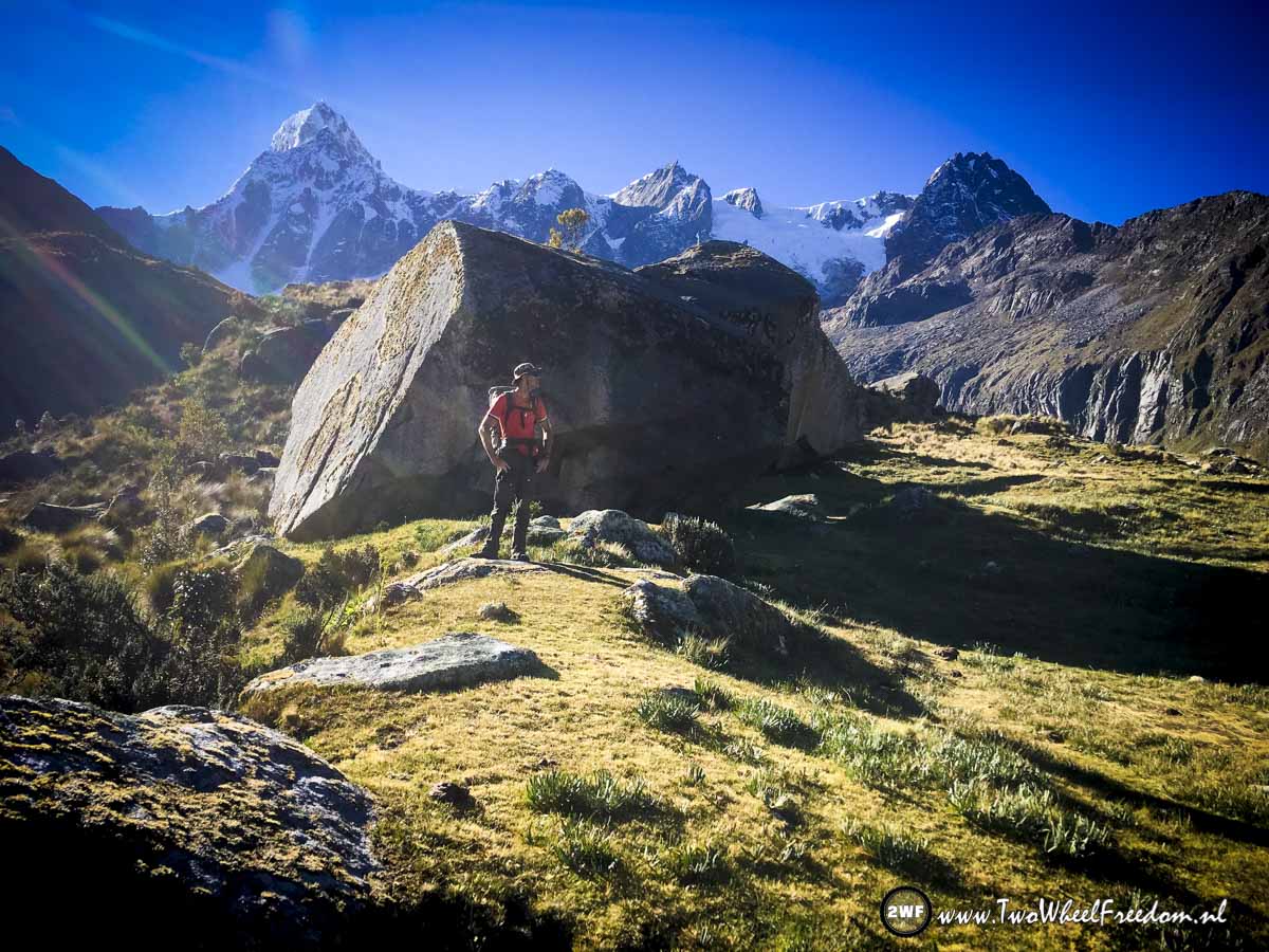
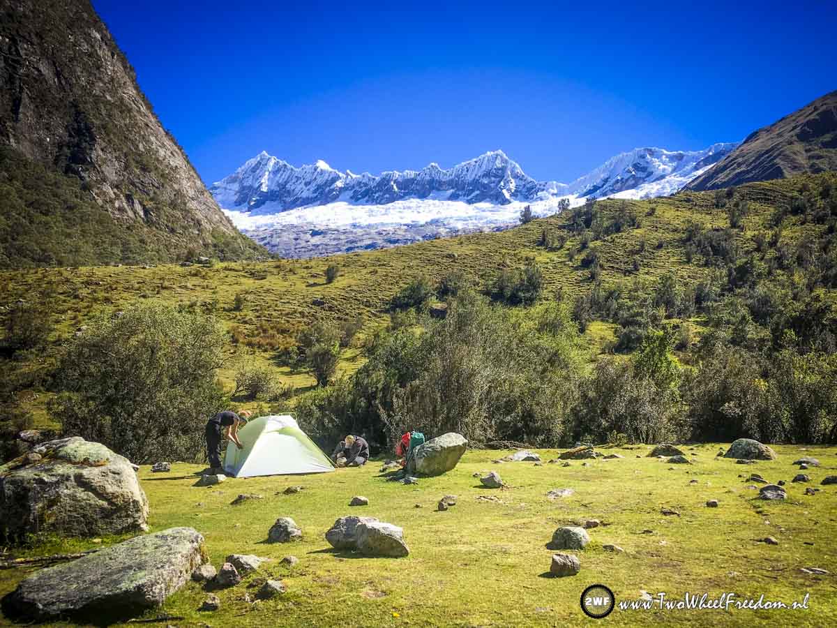
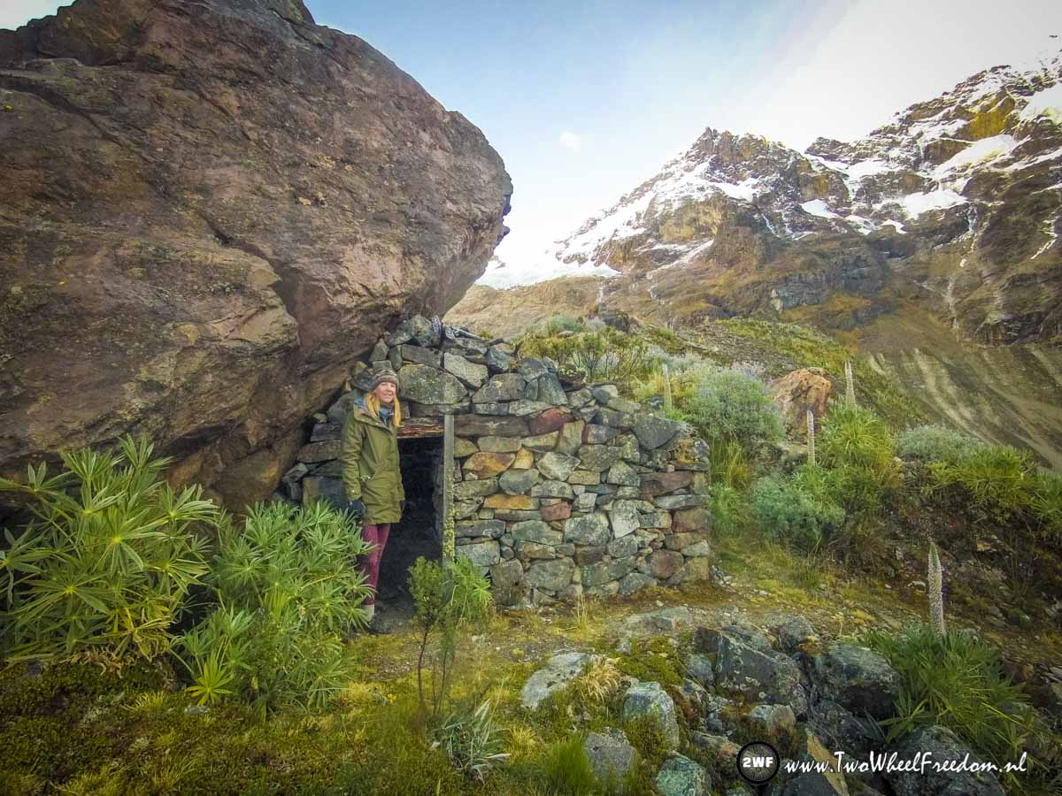
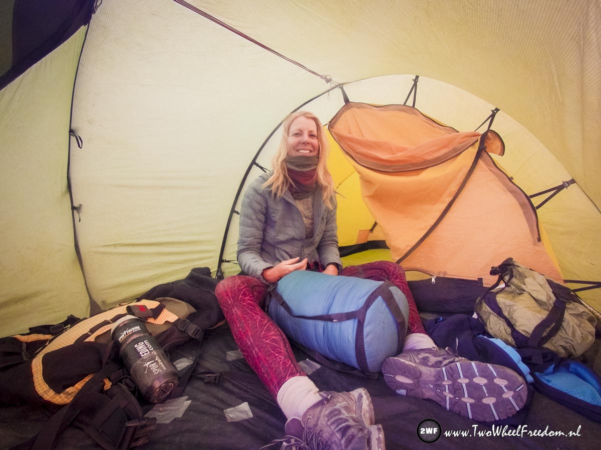
Around 16:30 we find this unofficial campground.
Check, nice place to stay but pretty cold already.

Kim has some blisters but forgot to take a needle and compeet. A Leatherman knife and ordinary band aids is the second option.
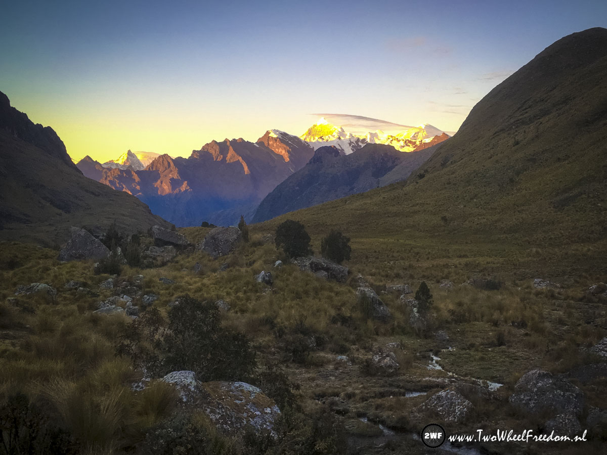
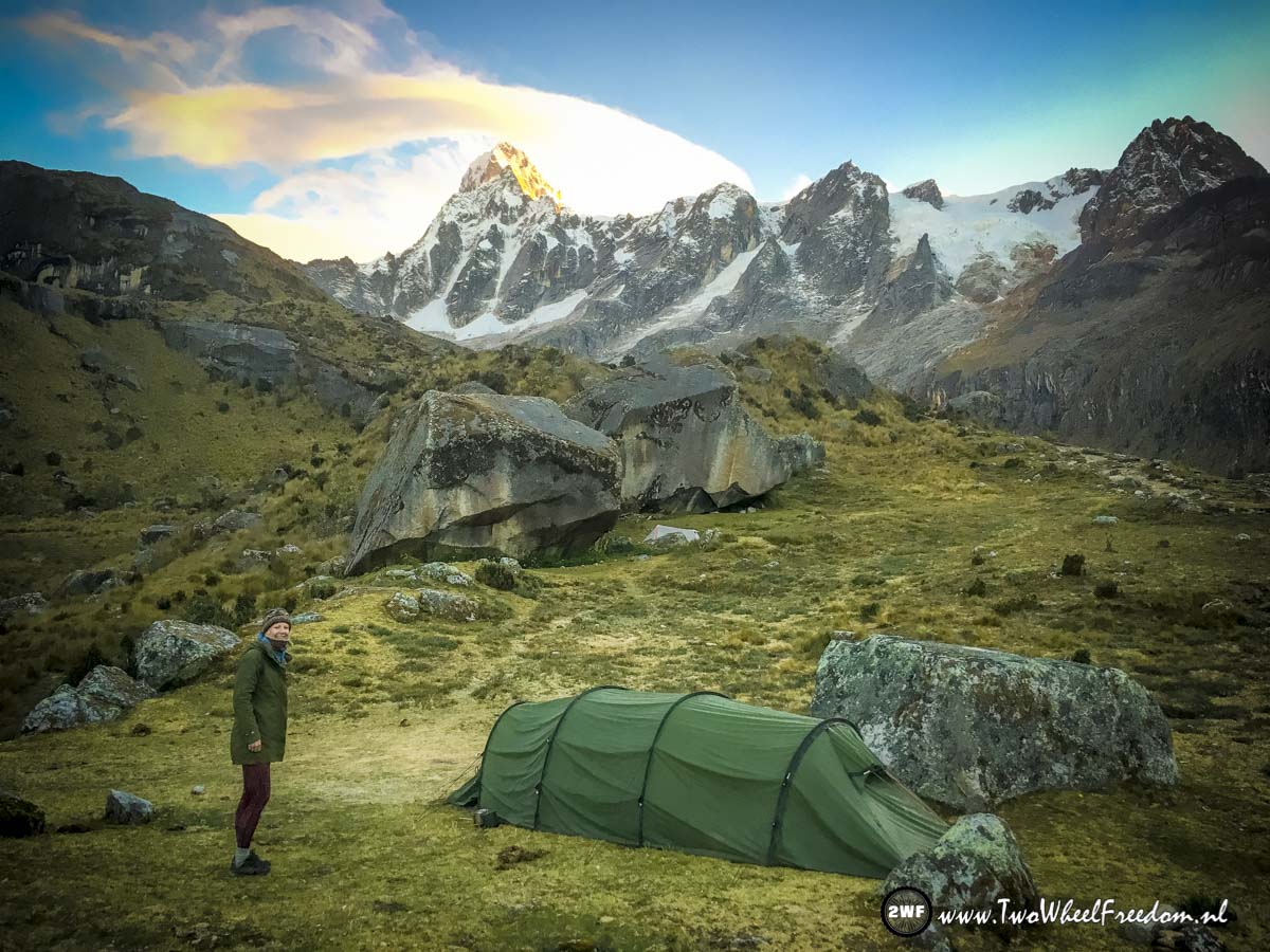
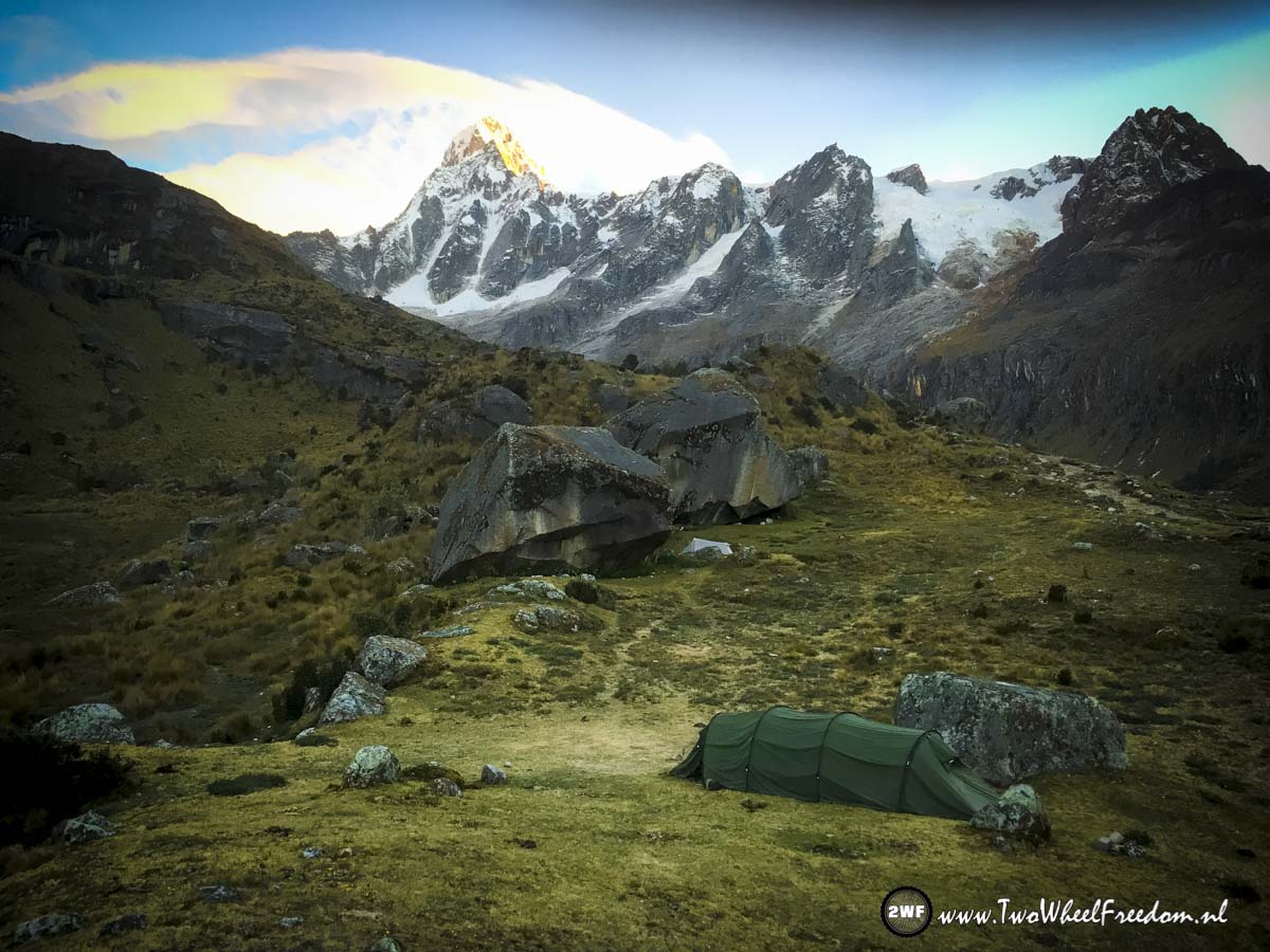
The next morning the sunrise is beautiful.
It was cold last night. -5 C.
Warming up in the early morning sun.
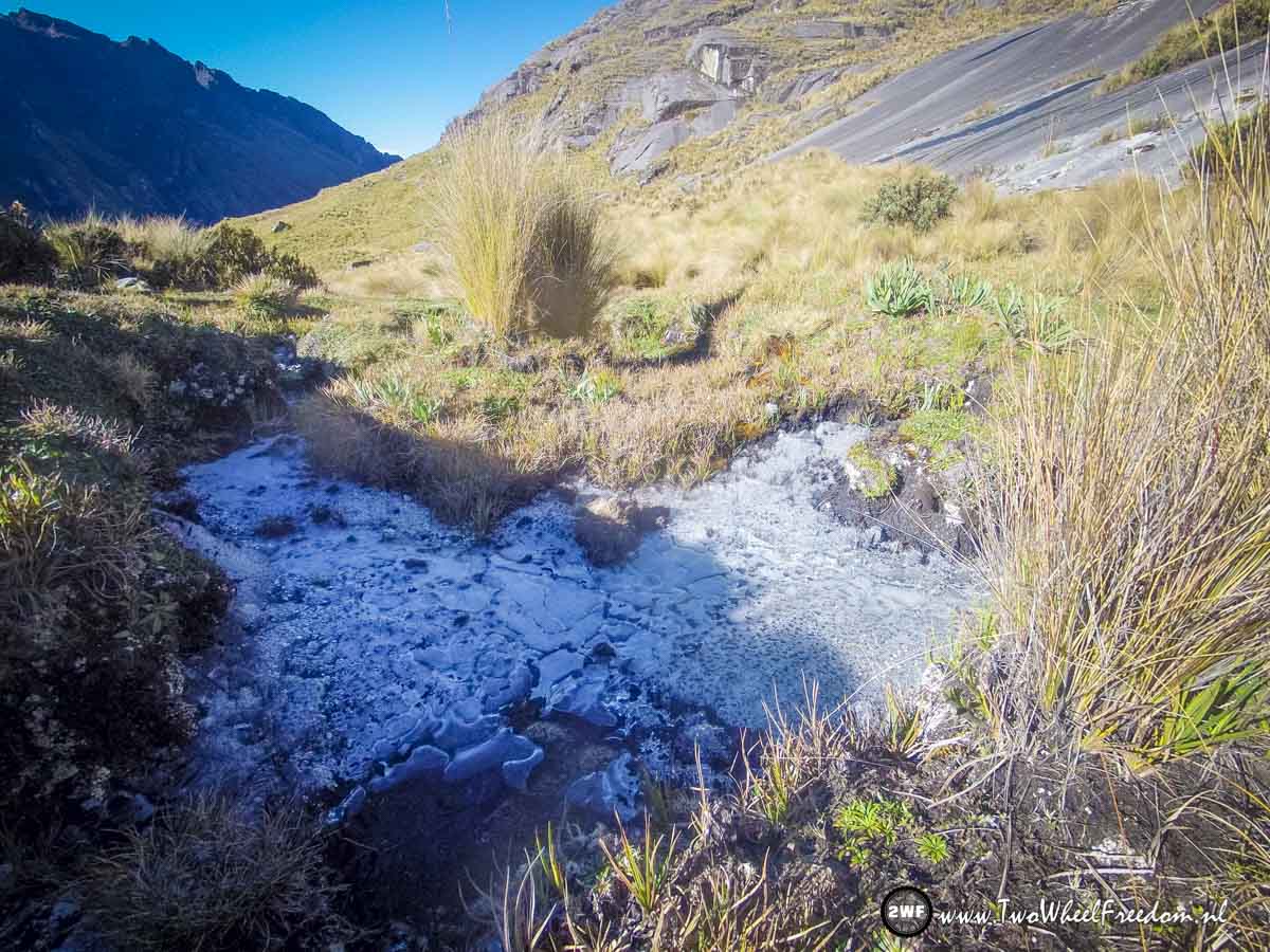
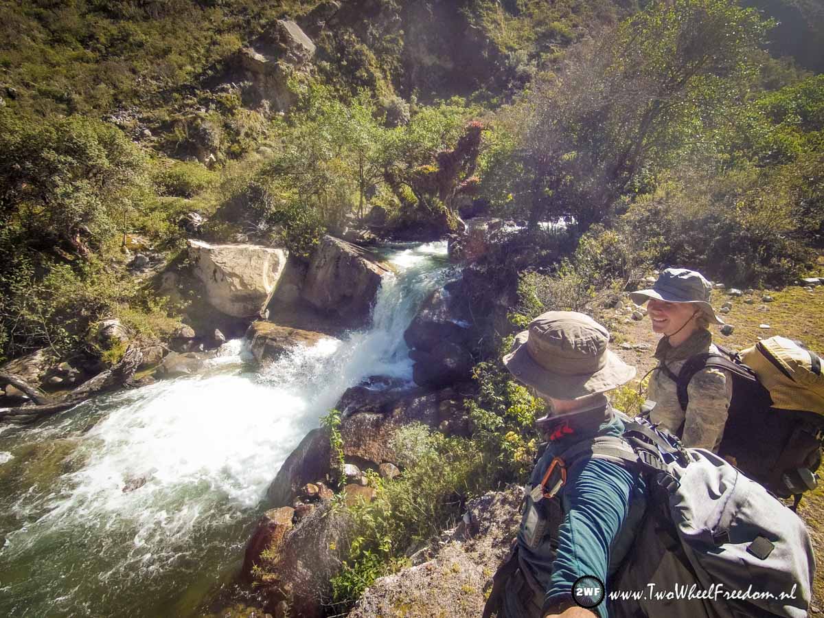
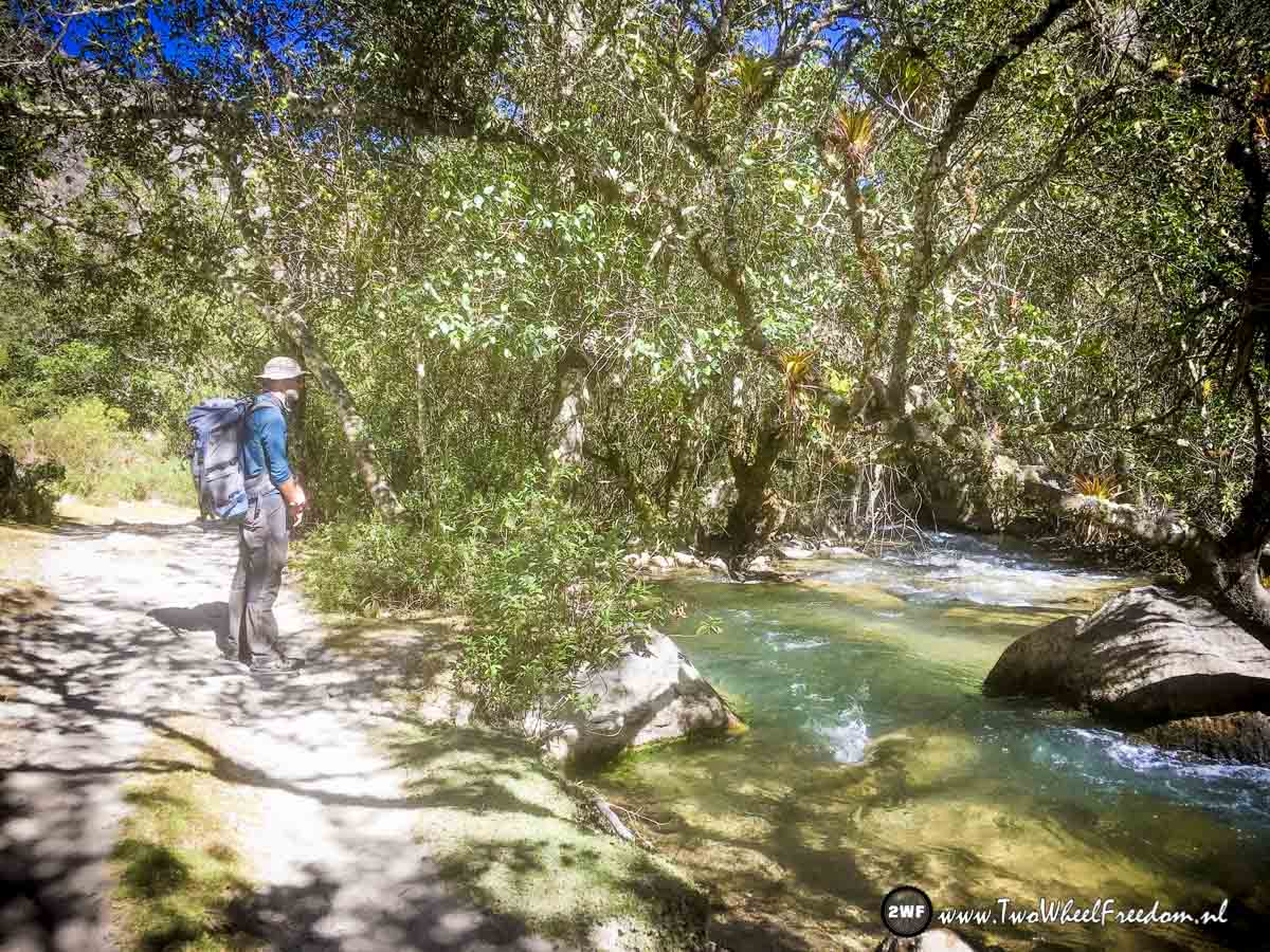
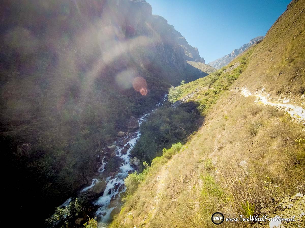
Fresh drinking water is coming from the mountains.
We fill up our water bottles and move on.
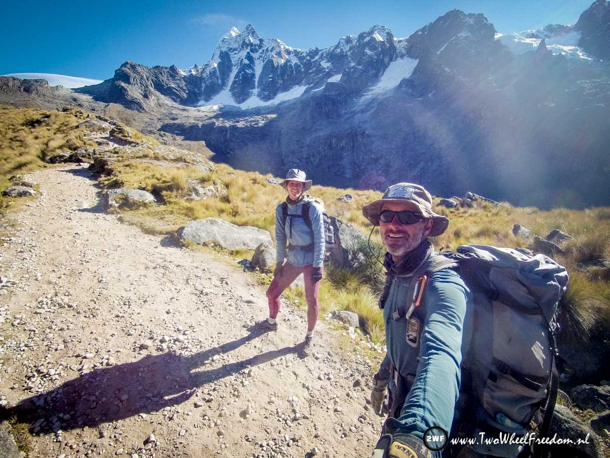

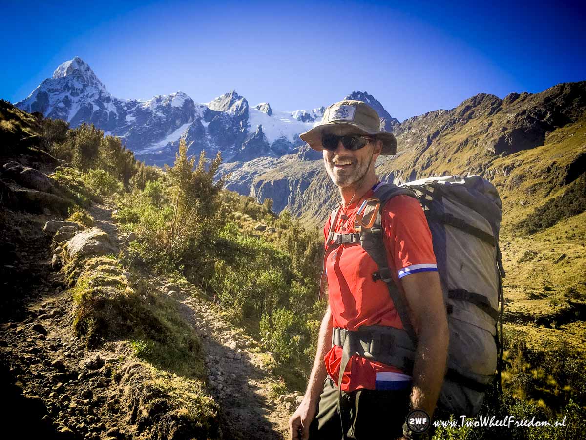
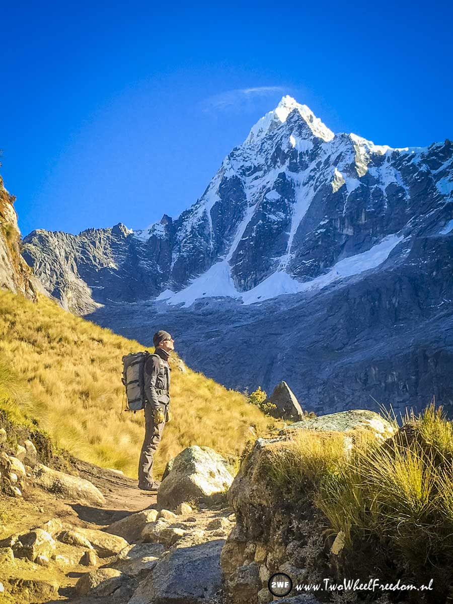
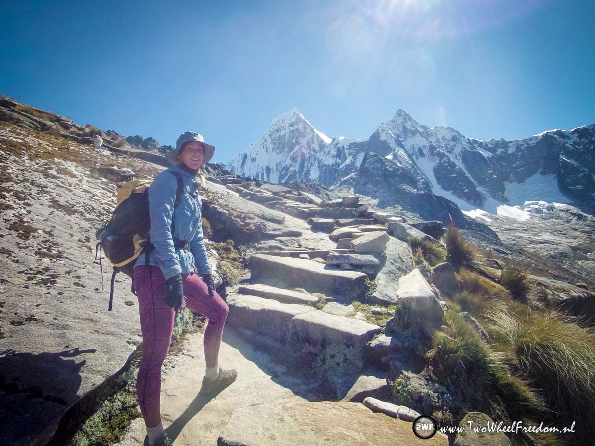
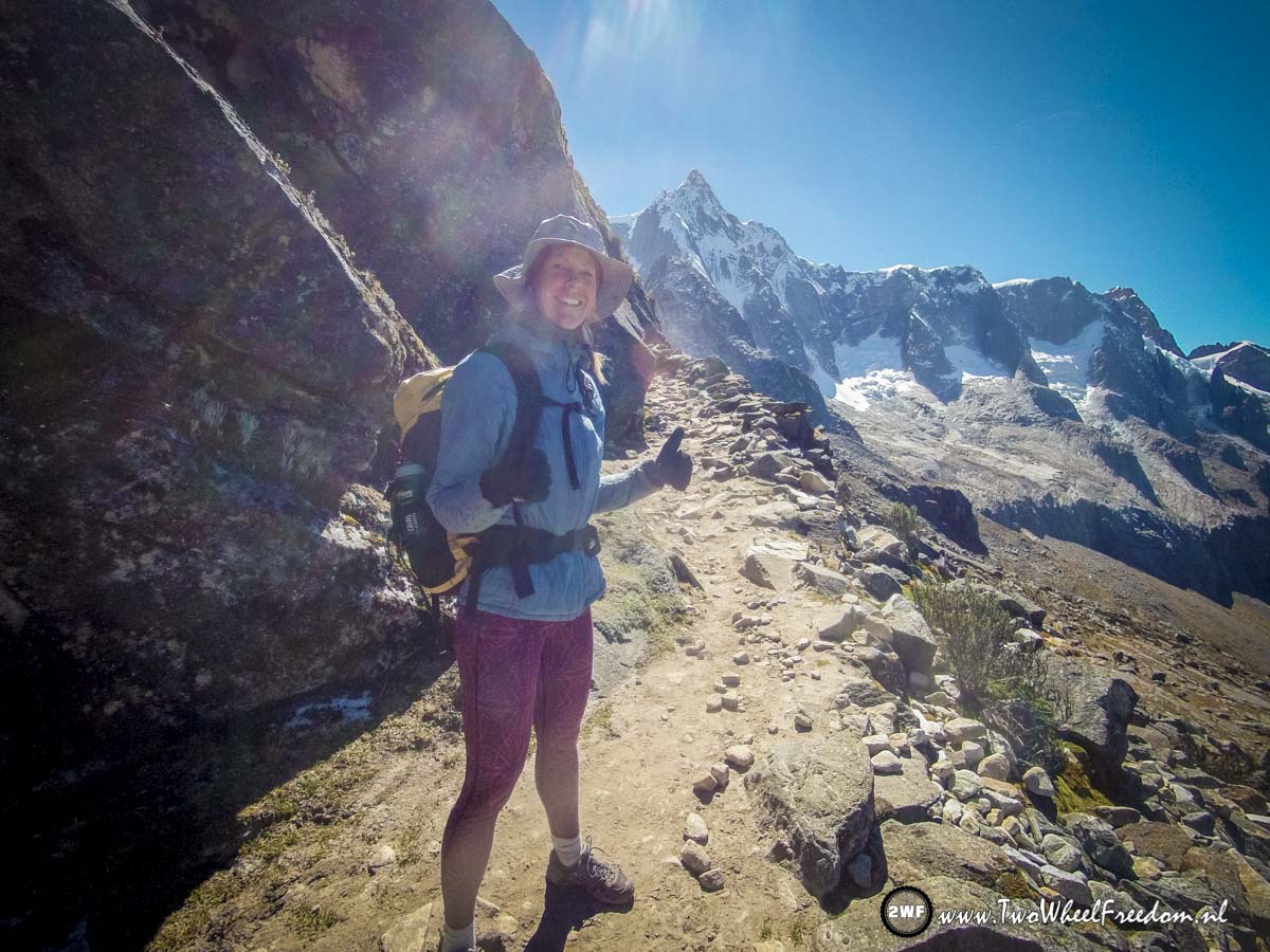
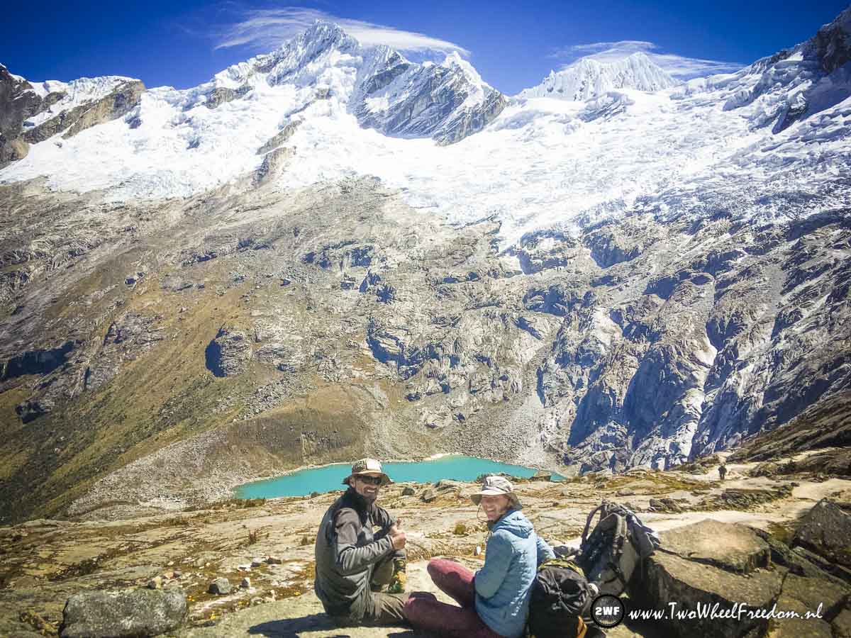
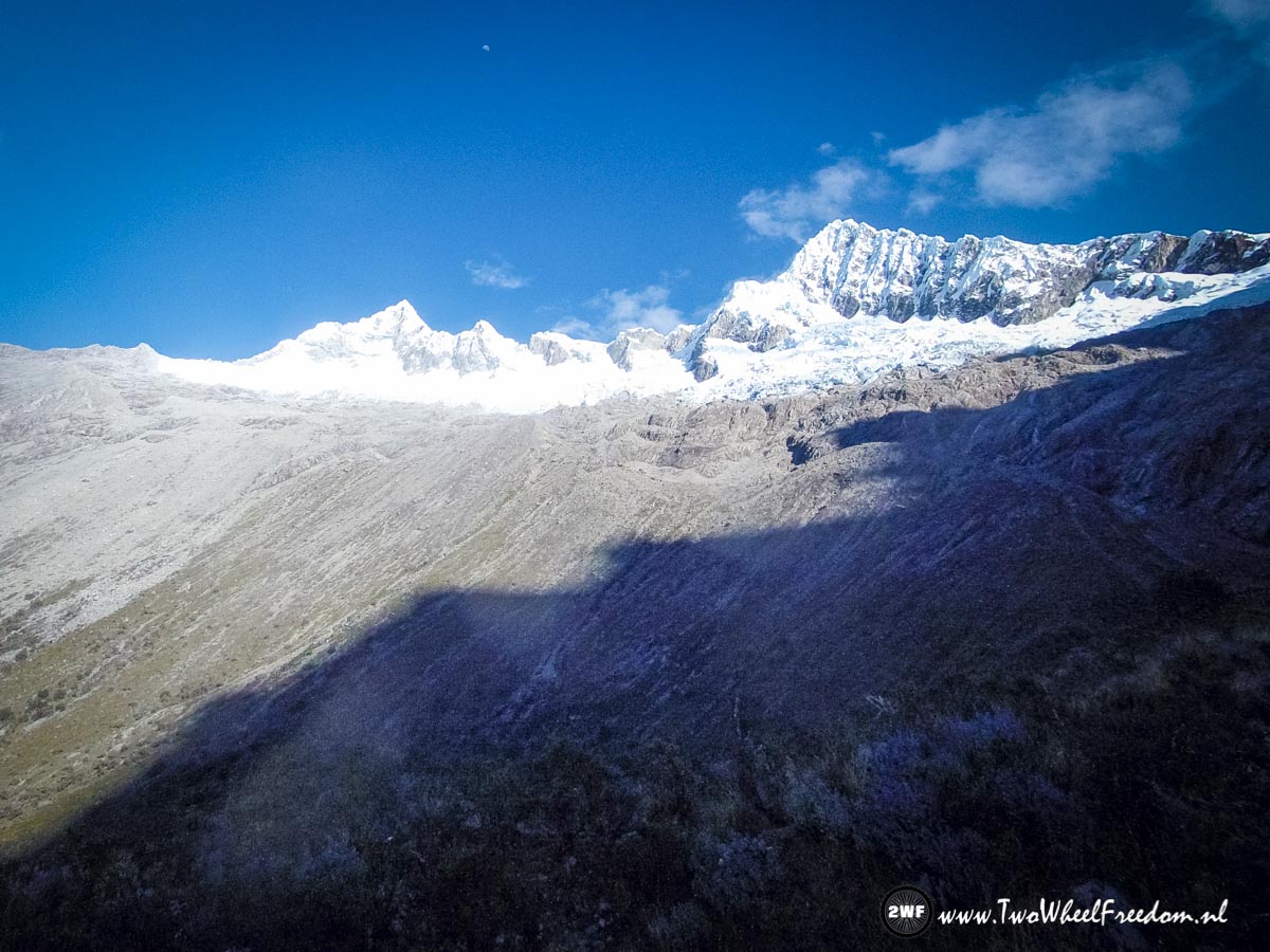
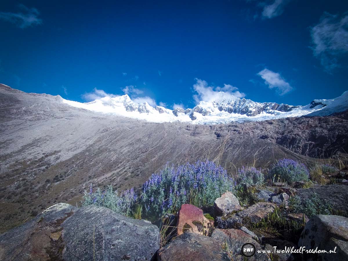
The 4750m Union Pass in a far distance is coming up.


Where we came from.

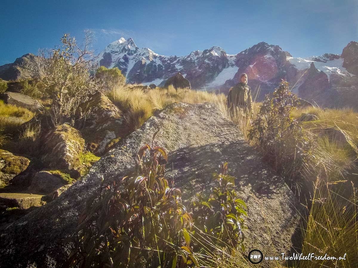
Climbing higher and higher.

At this hight the air is tin. While climbing up it feels we're 30 years older because we get less oxygen.
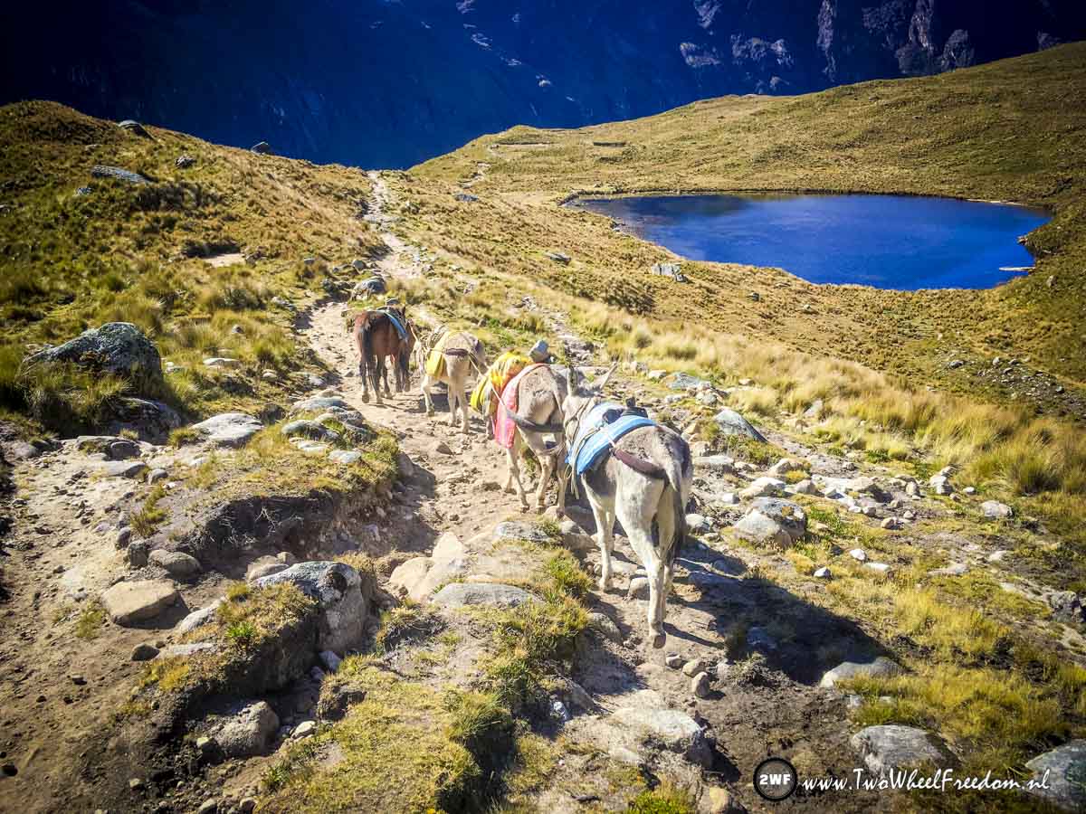
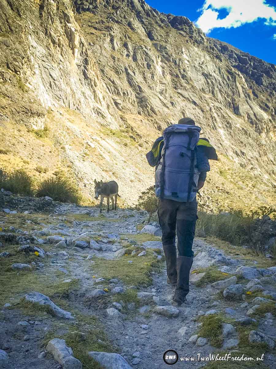
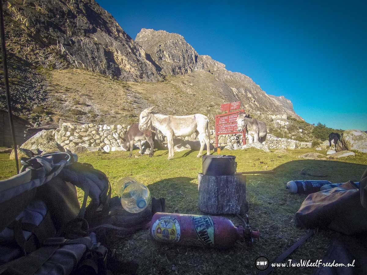
More donkeys...

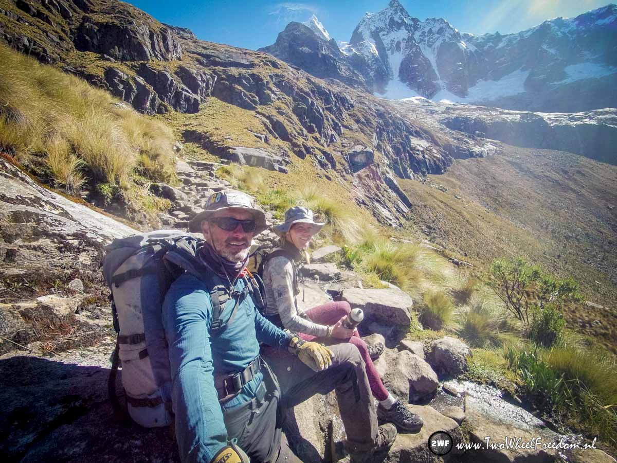
Nearly at the top of the pass.
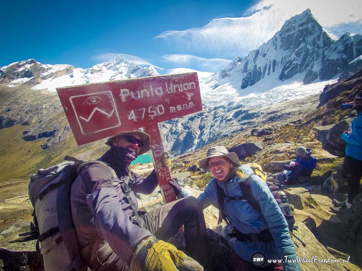
Yes, made it. It took us 2.5 hours to climb up from our camp at 4200m to 4750m over a distance of just 4km. Tin air you think? 😉
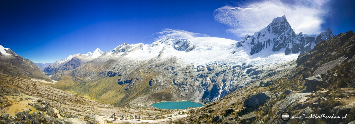
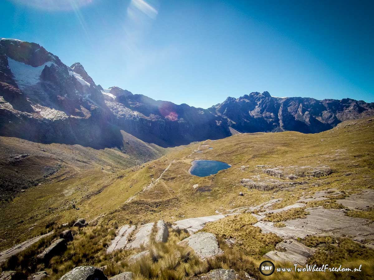
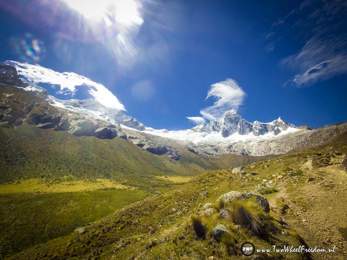
Nice views.

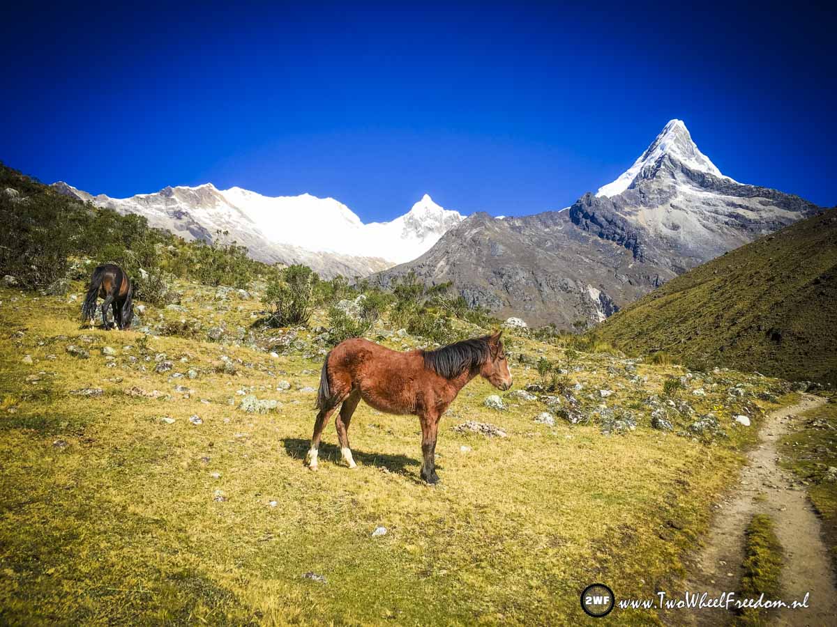
Also animals at the top.
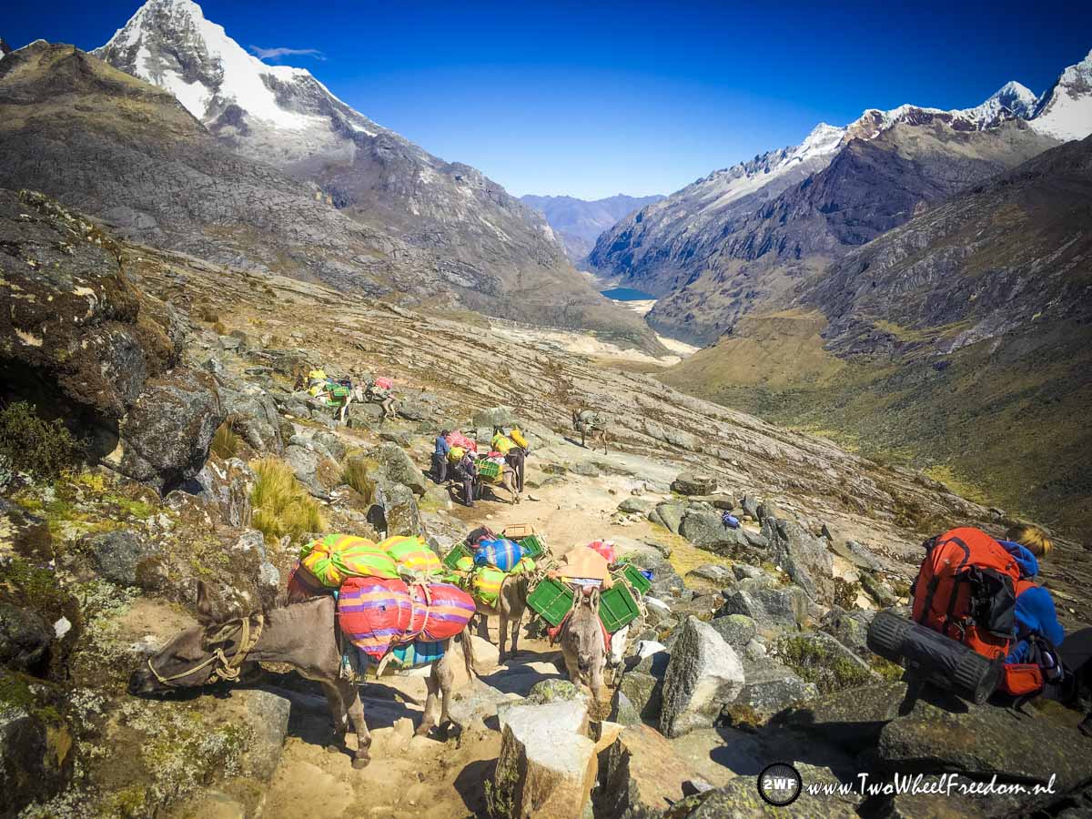
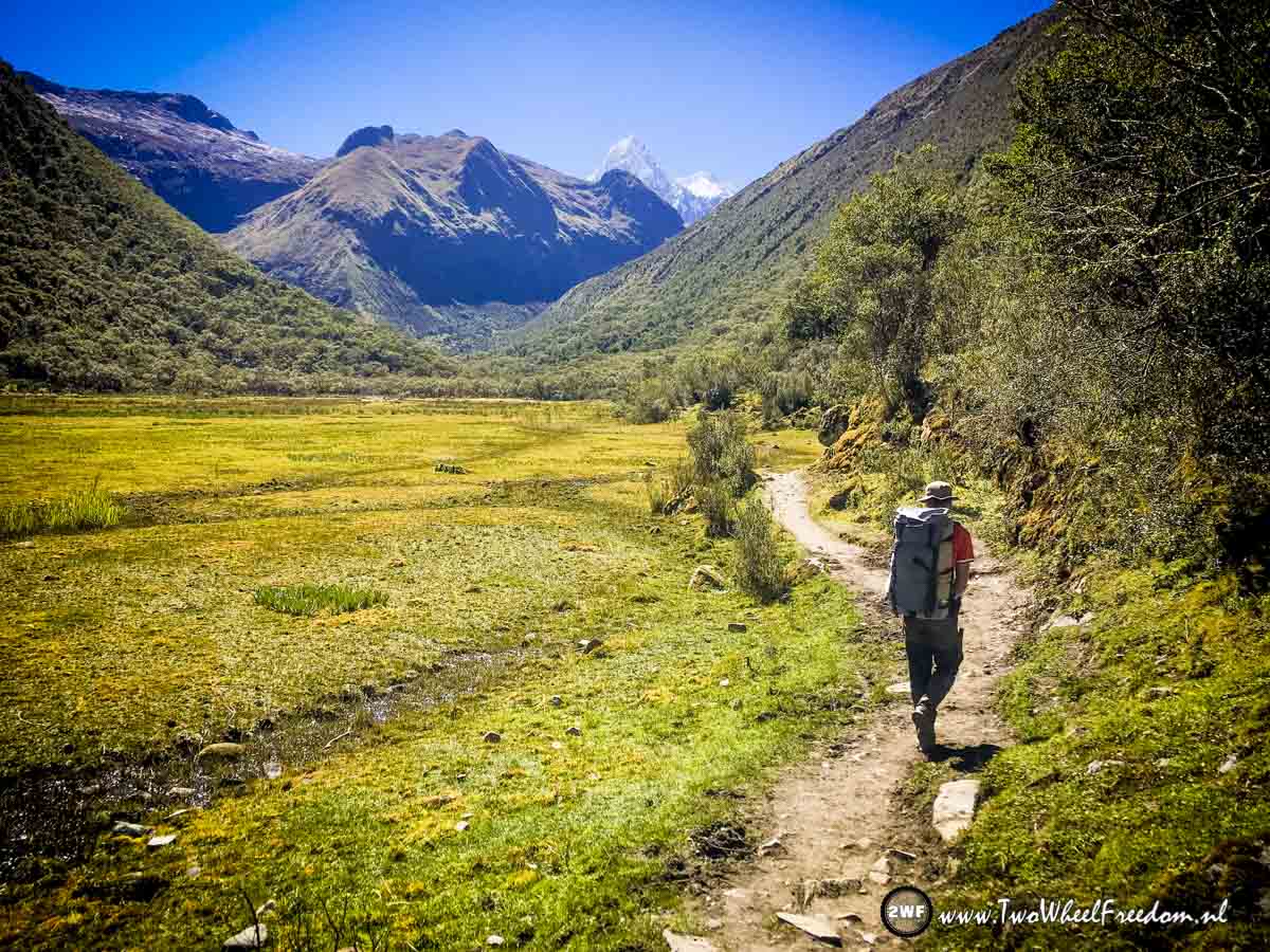
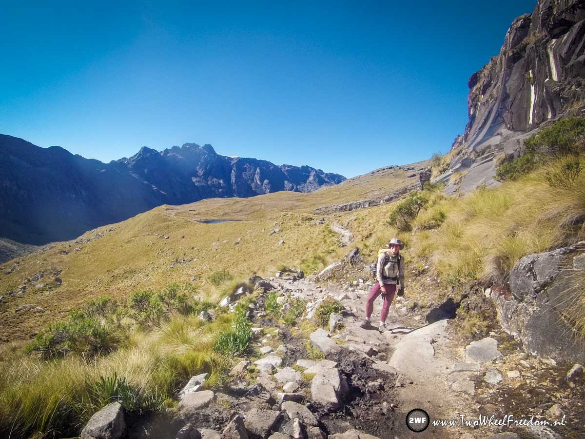
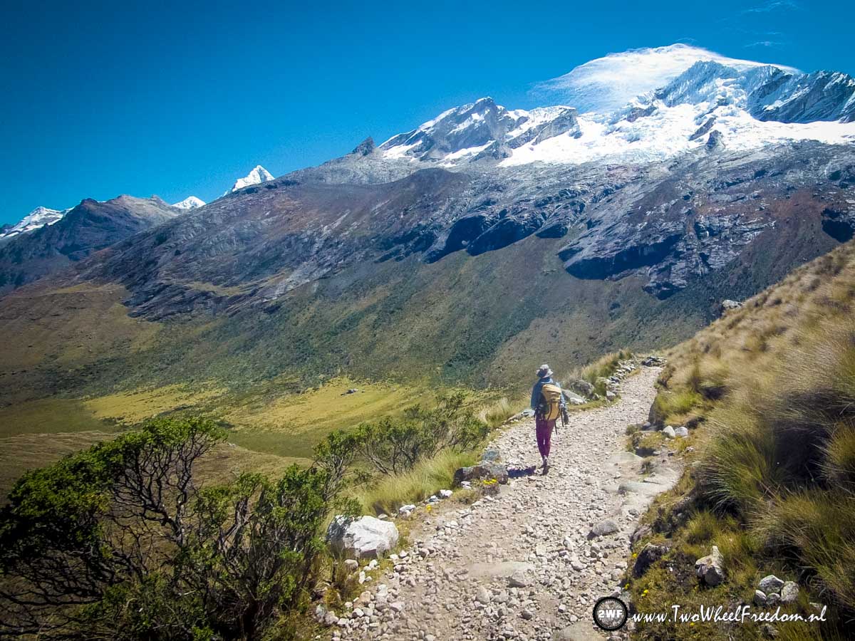
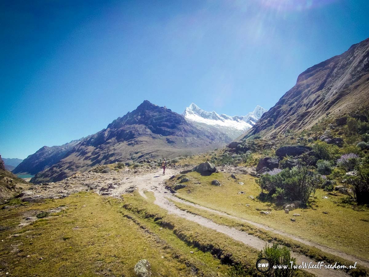
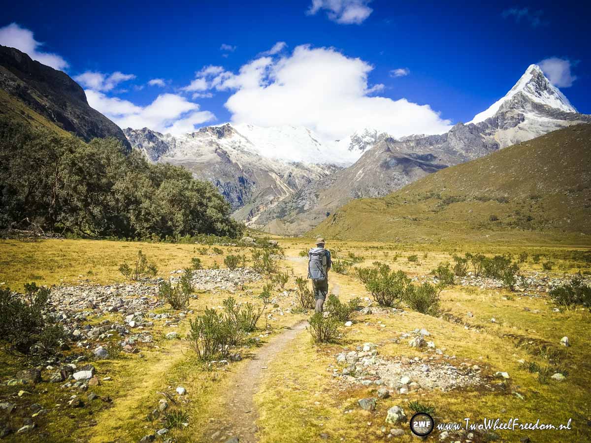
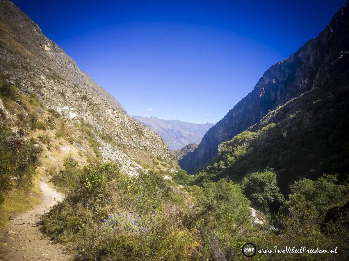
We continue our track and start walking down again.
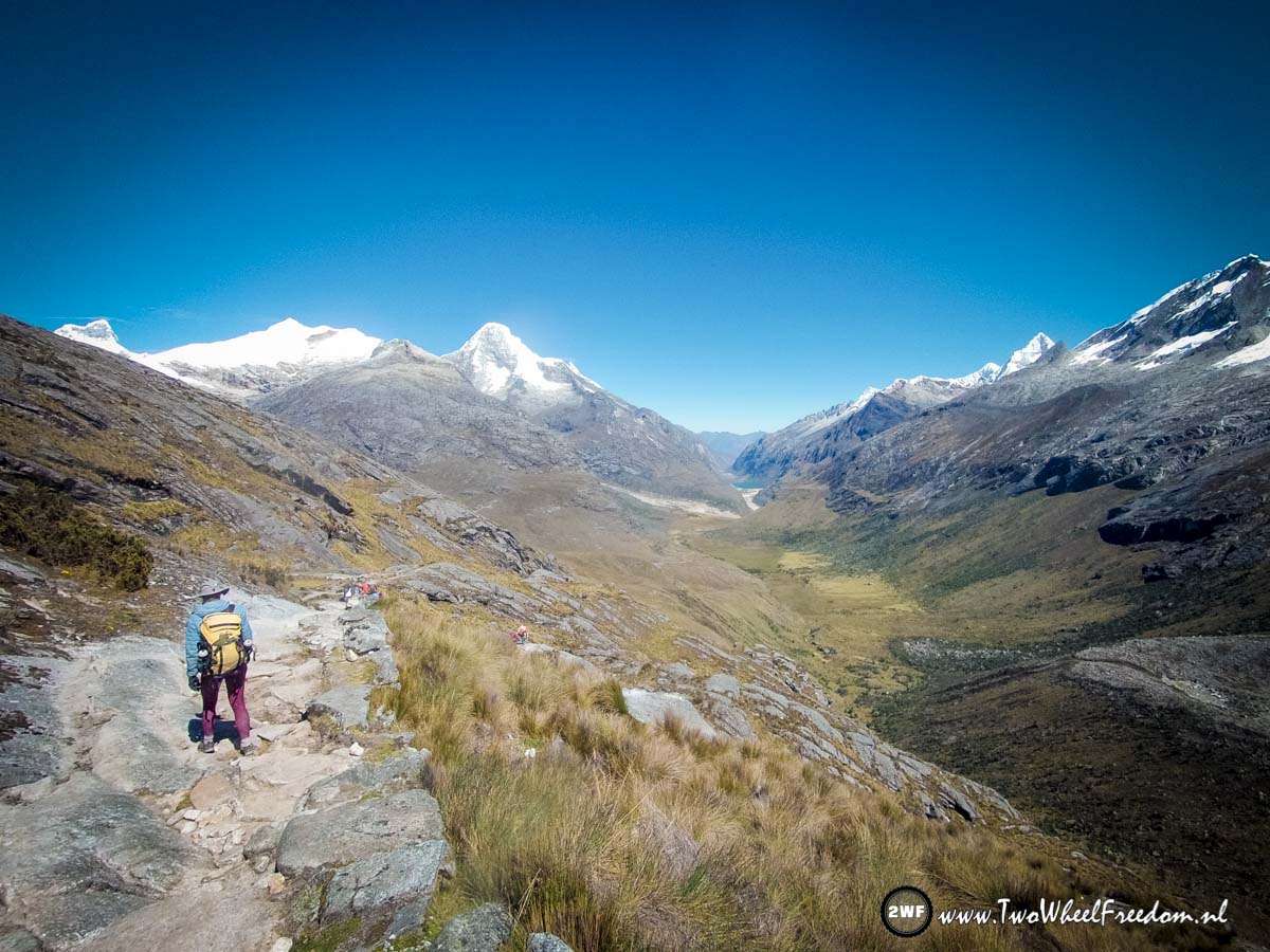


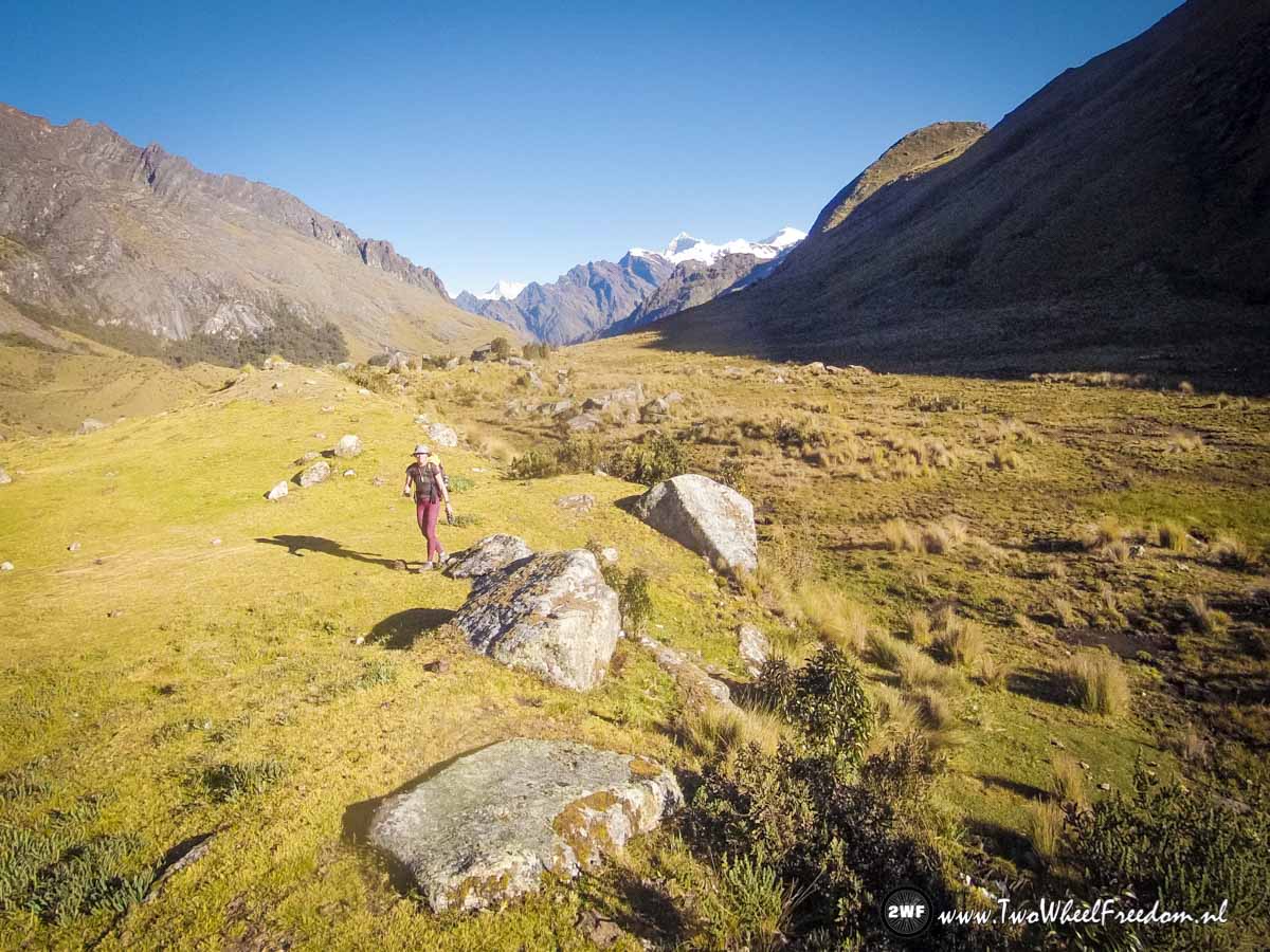
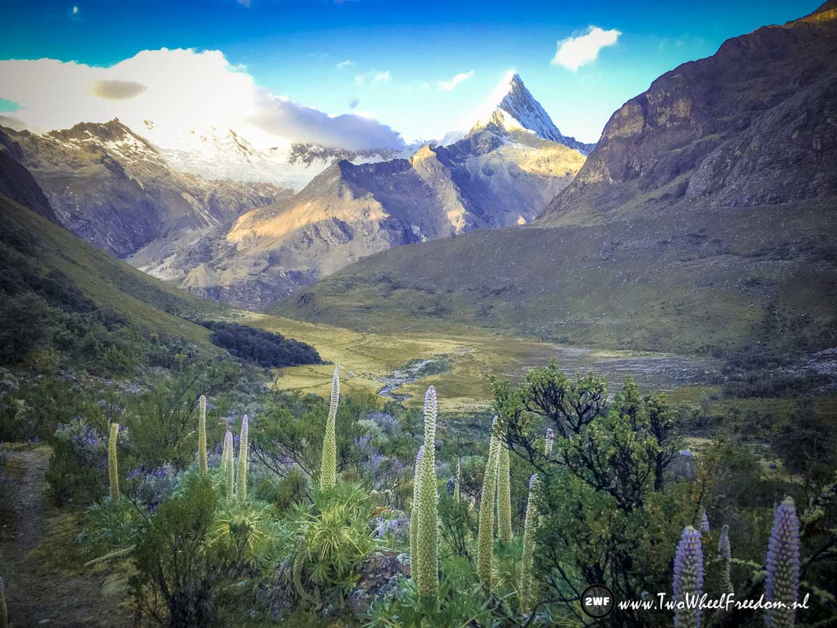
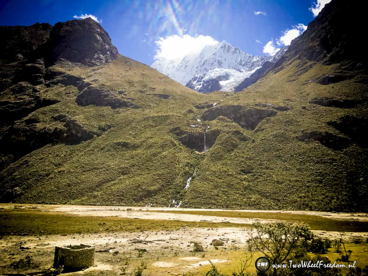
A new valley has new views.

Have a break with hot noodle soup.
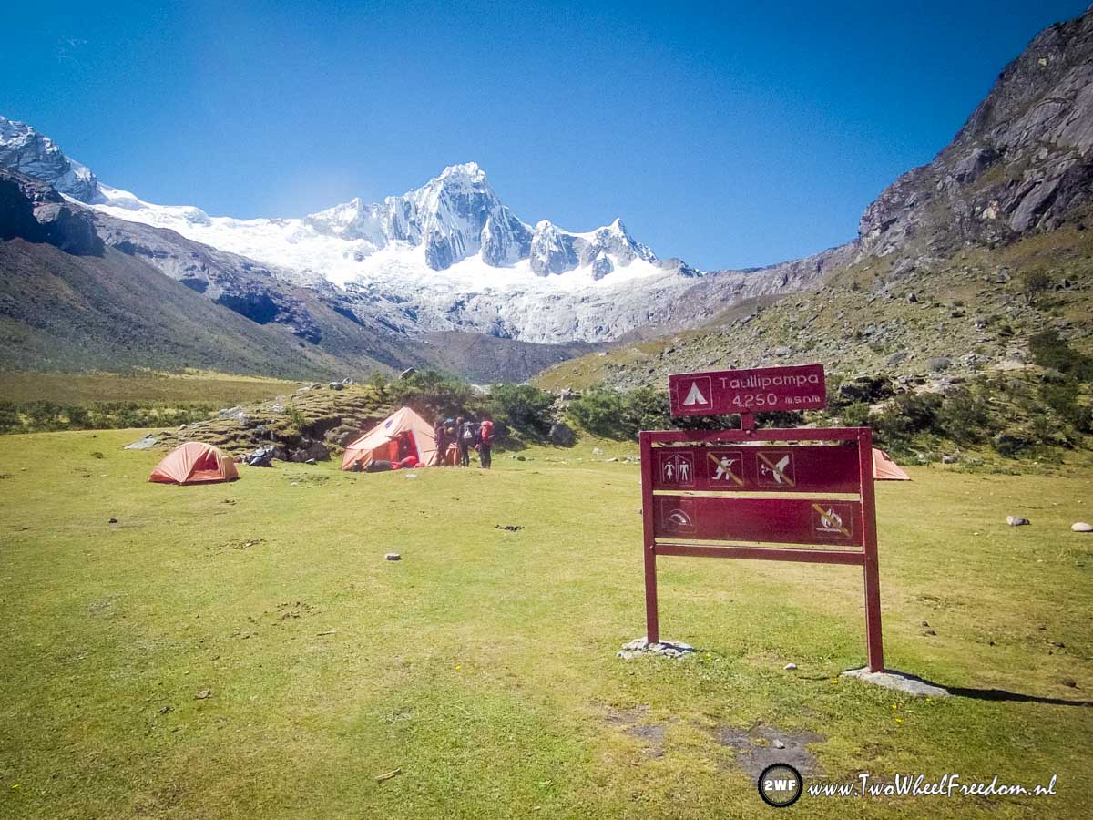
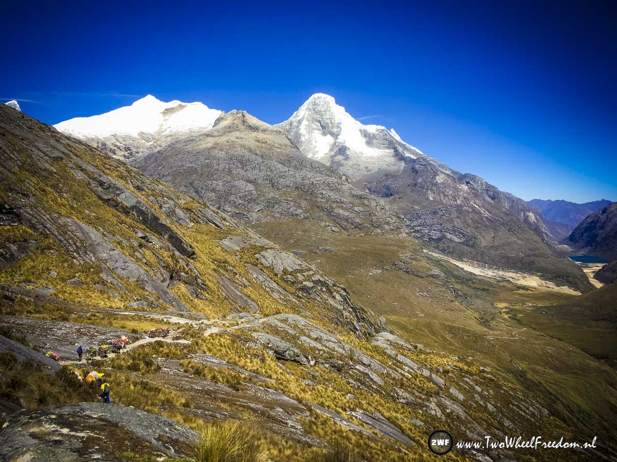
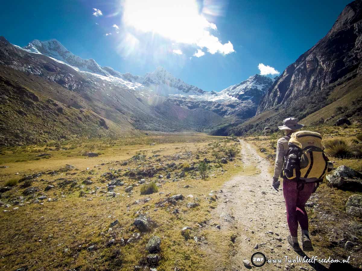
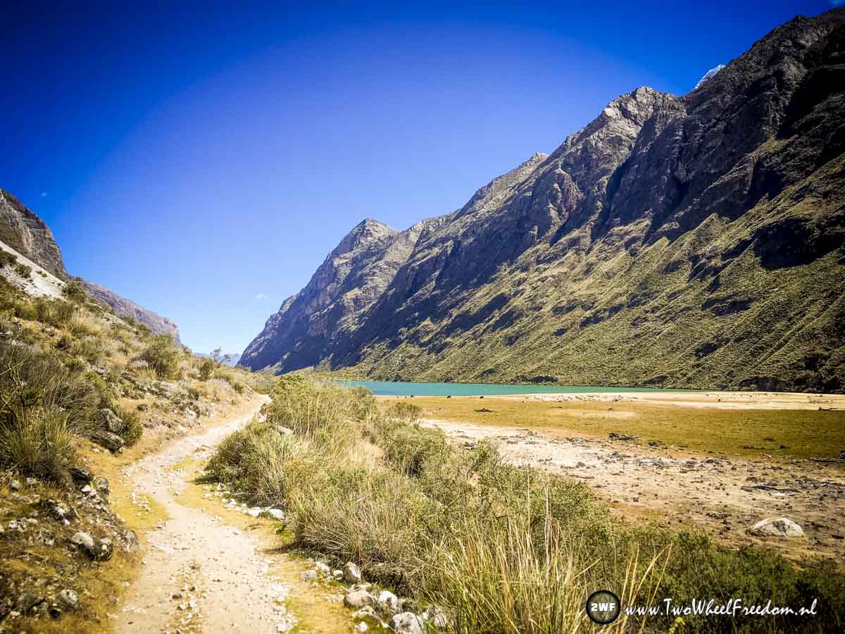
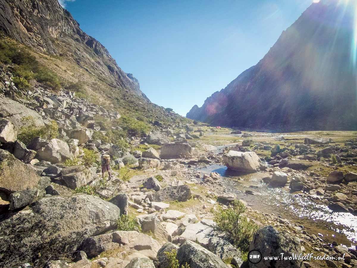
Taullipampa campground.

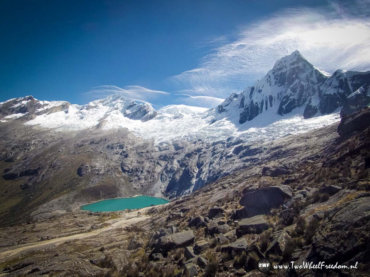
We pass by because tonight we wanna stay close to a glacier lake not far from here.


The last part of today.
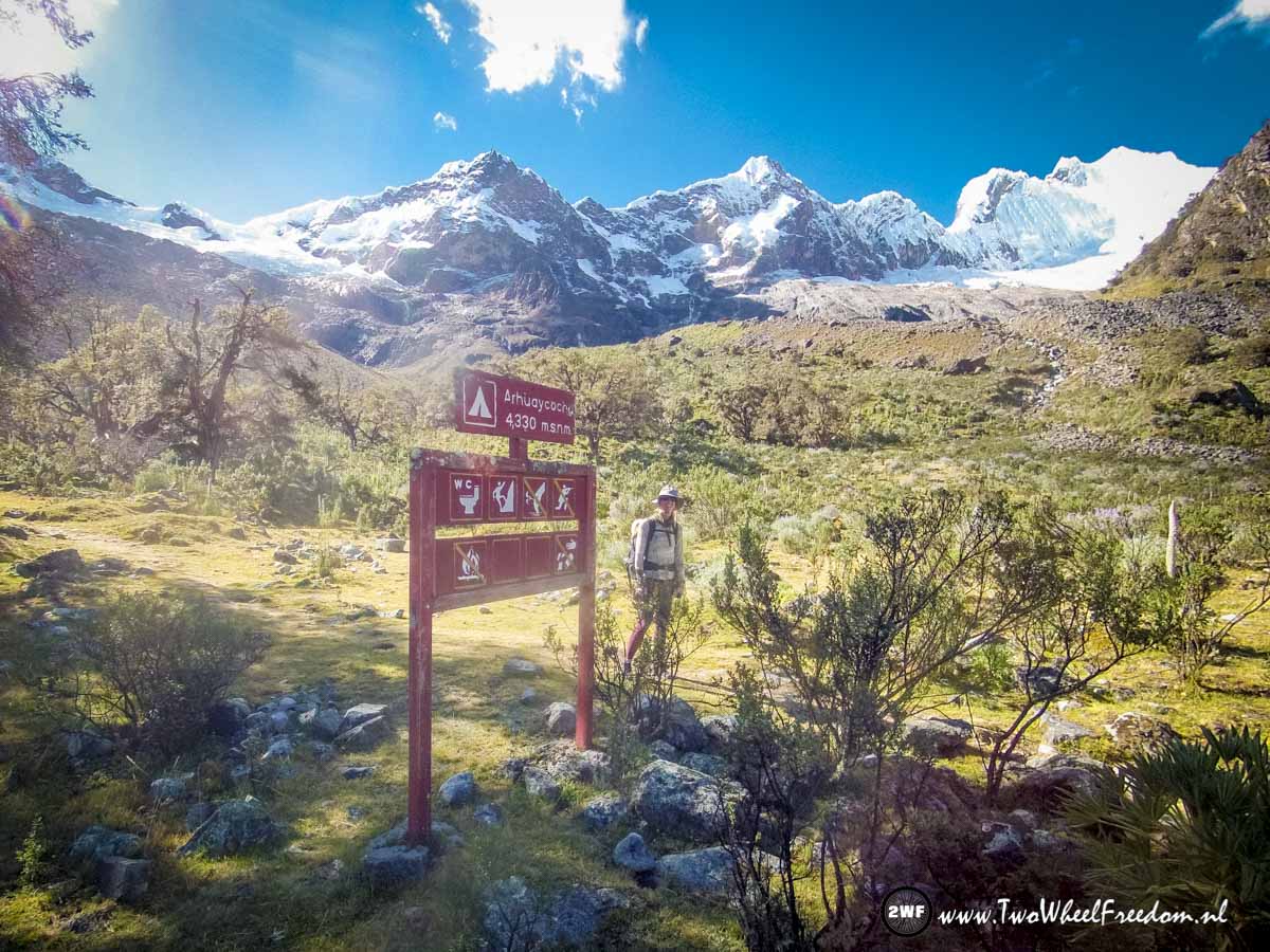
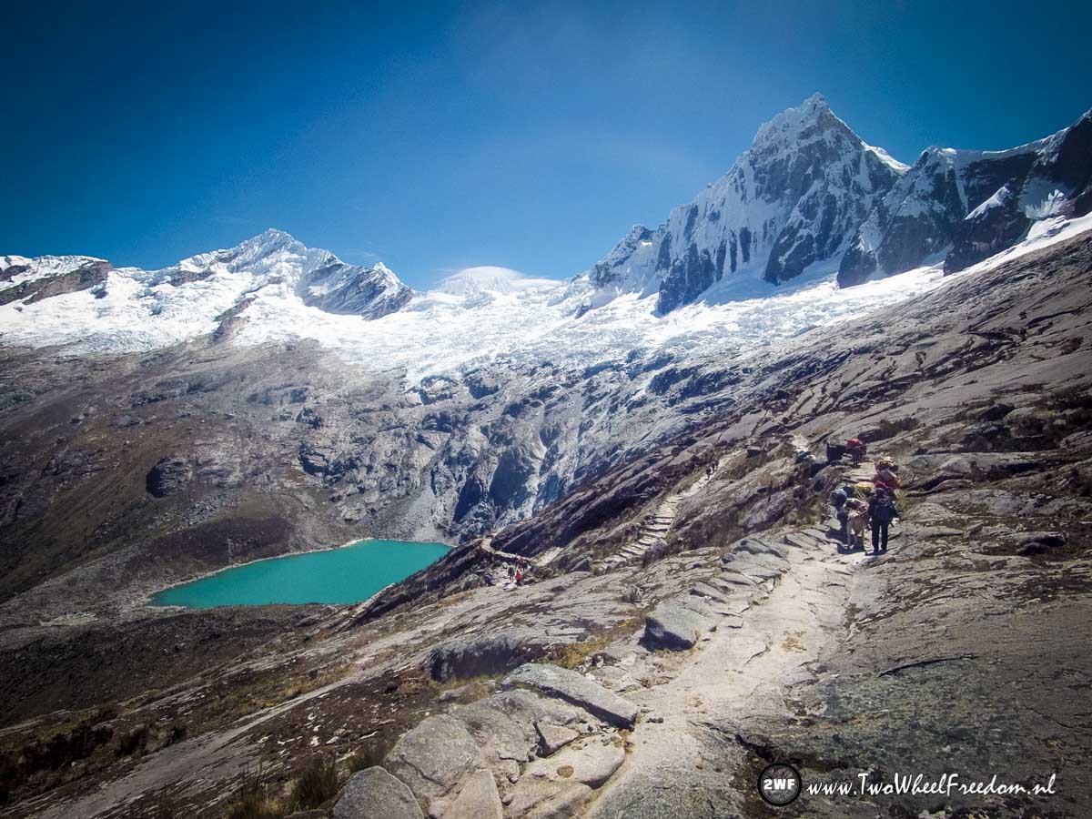
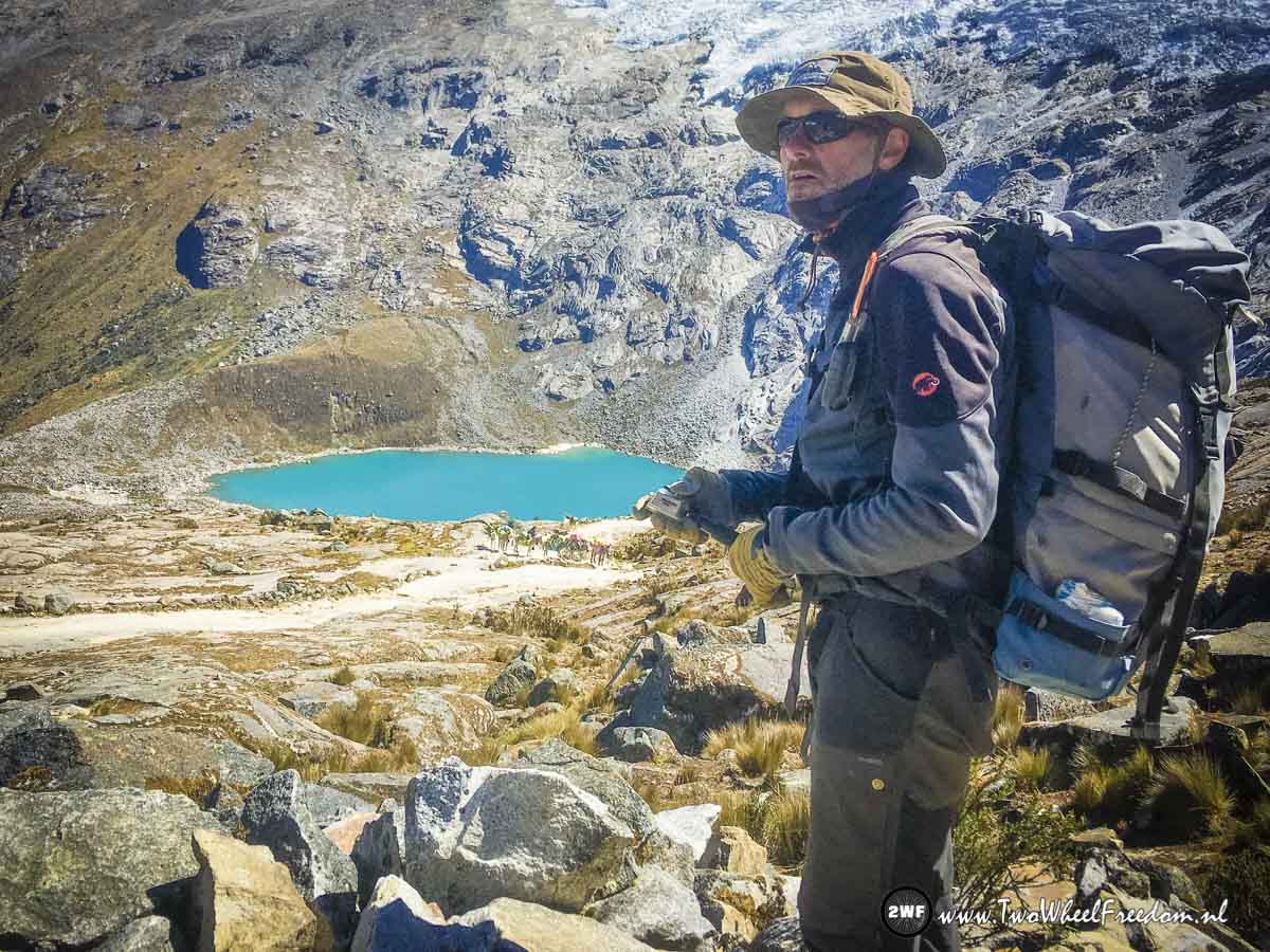
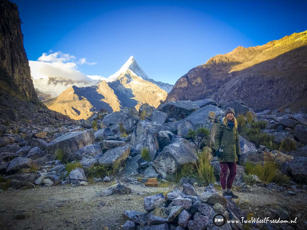
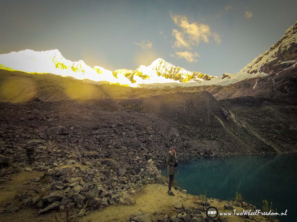
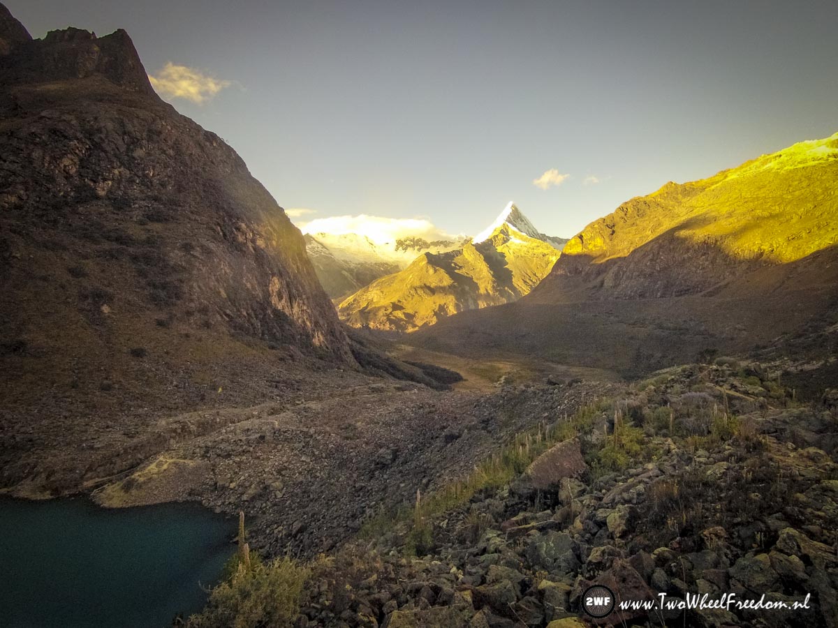
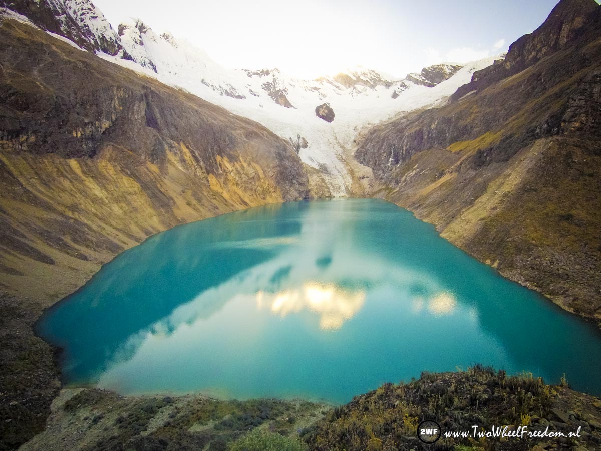
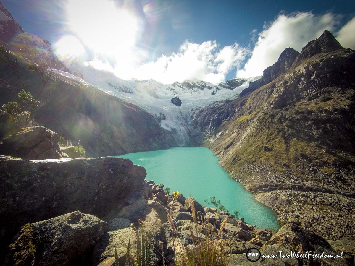
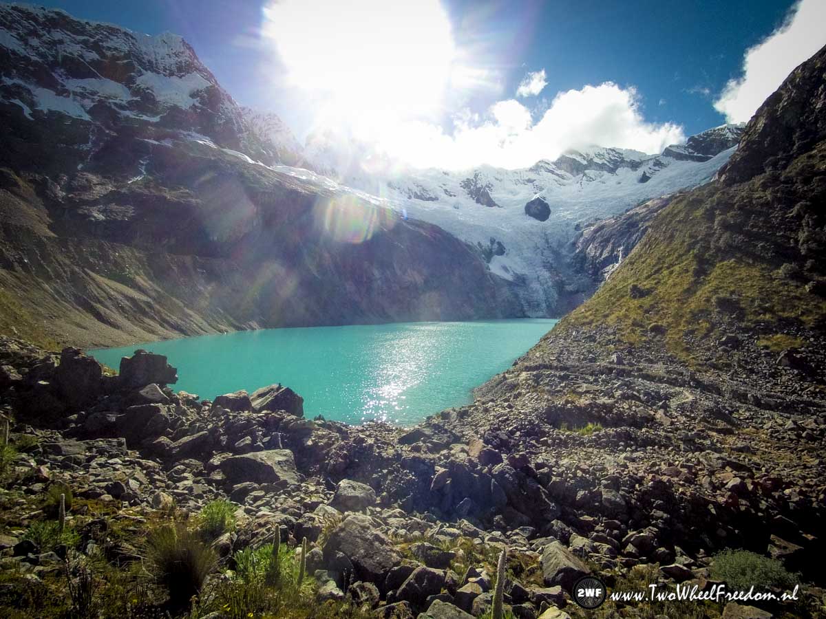
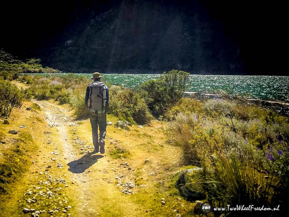
Made it to Arhuaycocha campground. Just 1km from Lake Arhuaycocha where in the Arhuay glacier ends.
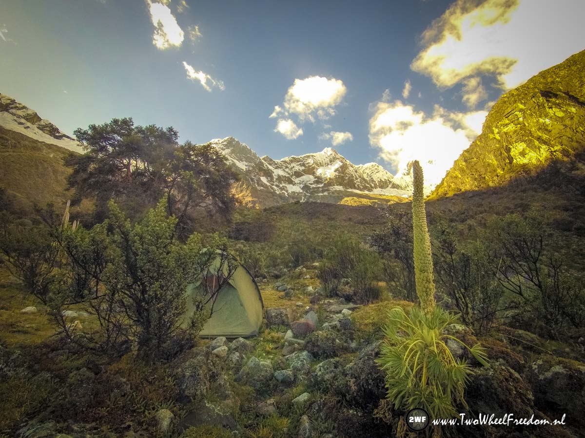
We pitch our tent and enjoy the cold sunset.

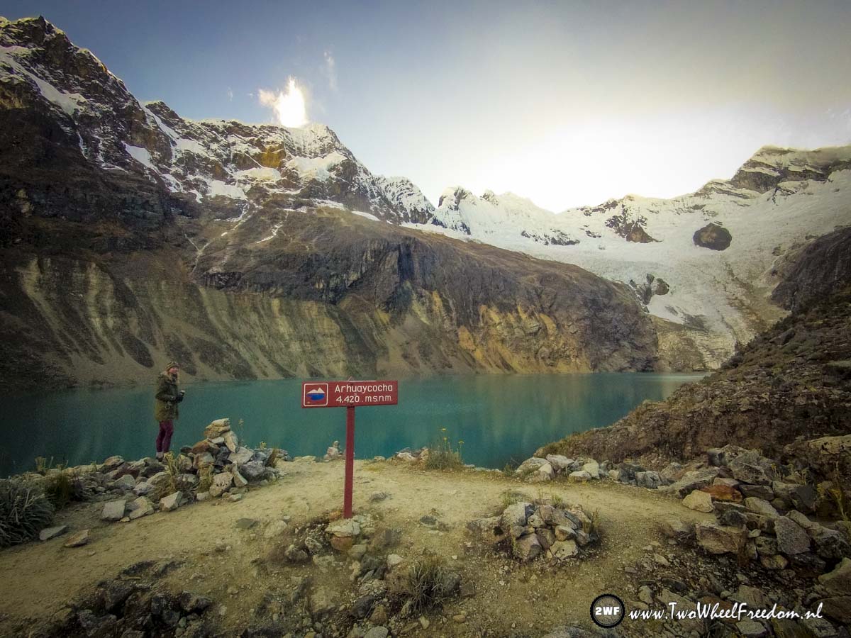
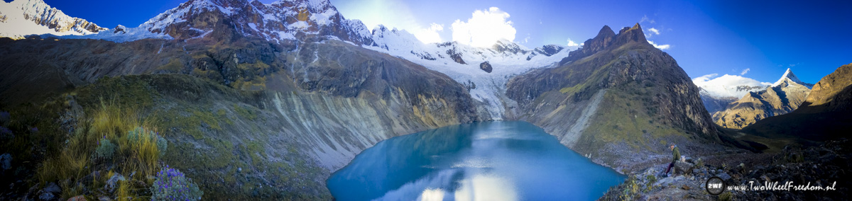
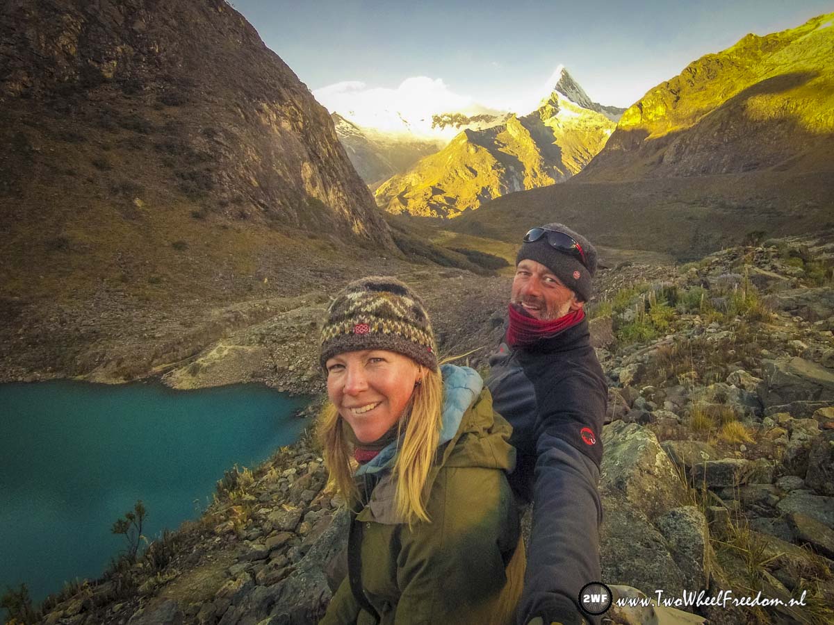
The next morning we wake up early to hike to the glacier lake. We leave the tent and our stuff at the campground because there is just one way up and down.
Any Hobbits around here?

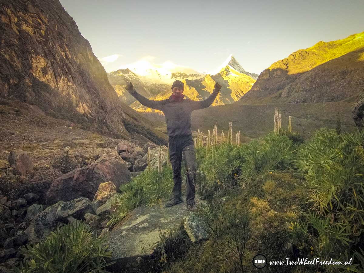
The sun rises slowly and shines already on the mountains behind us.
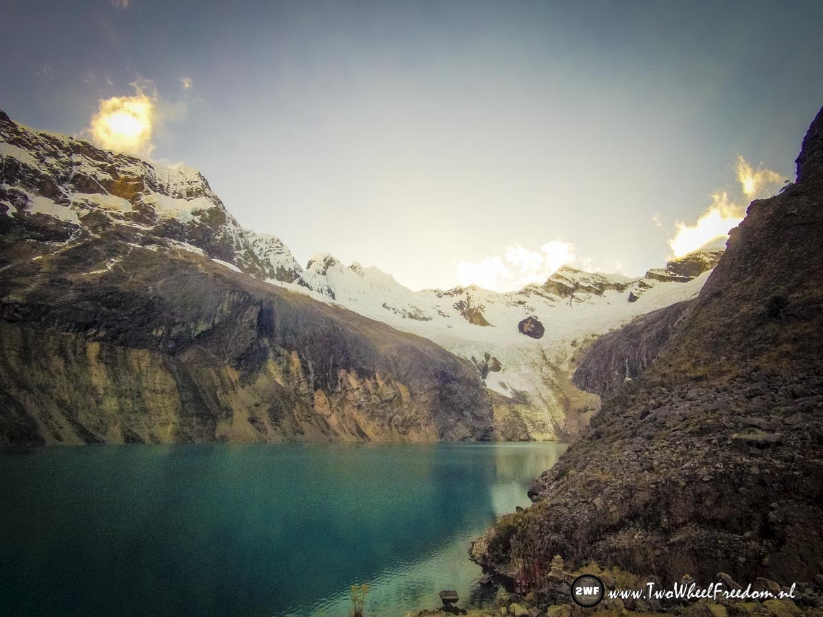
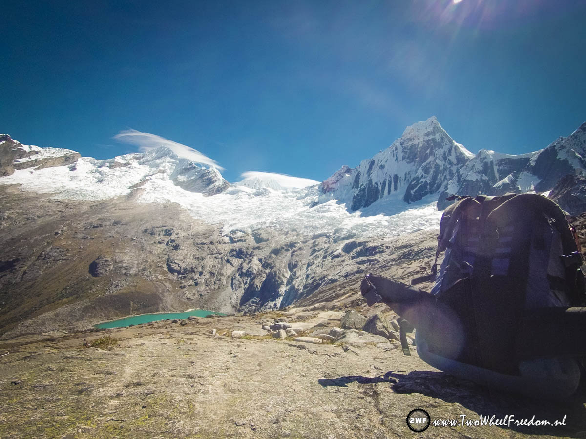
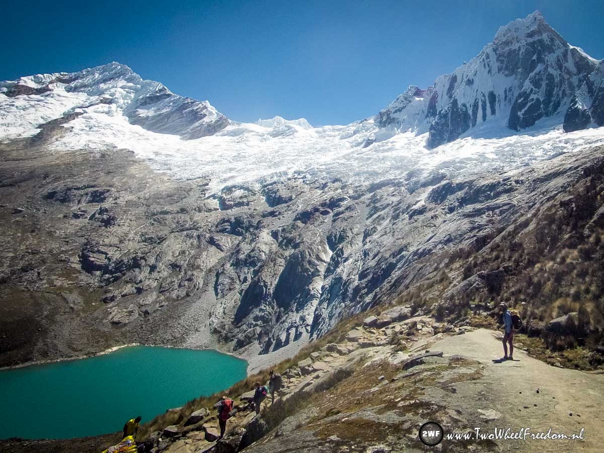
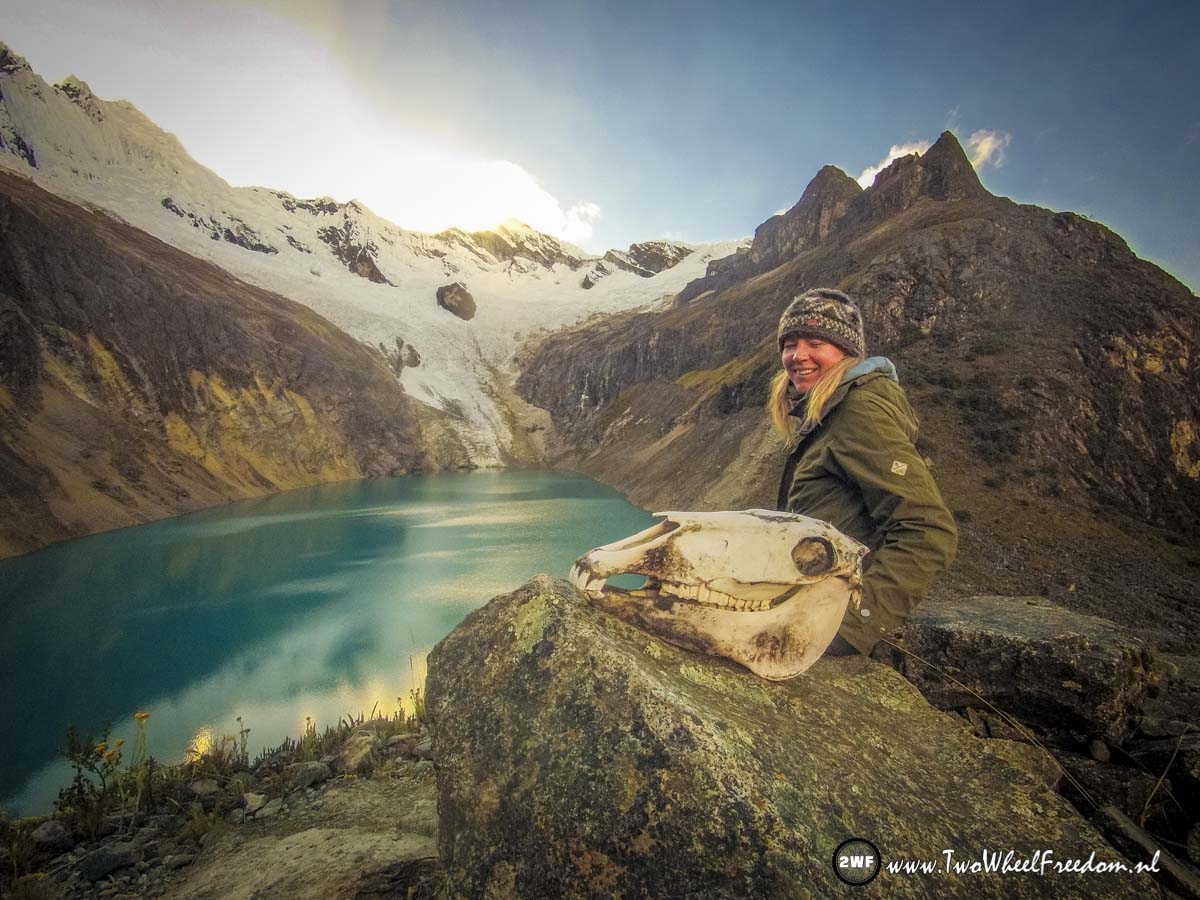
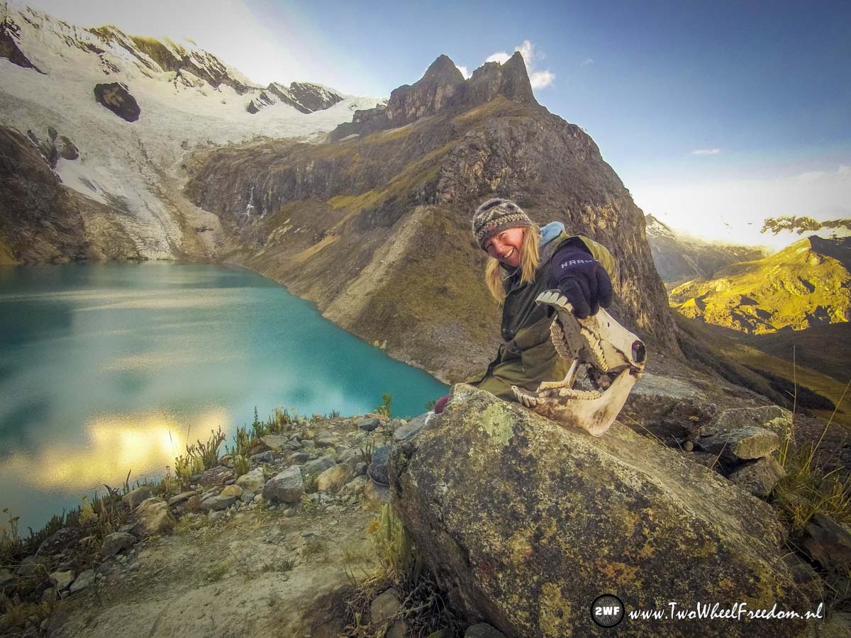
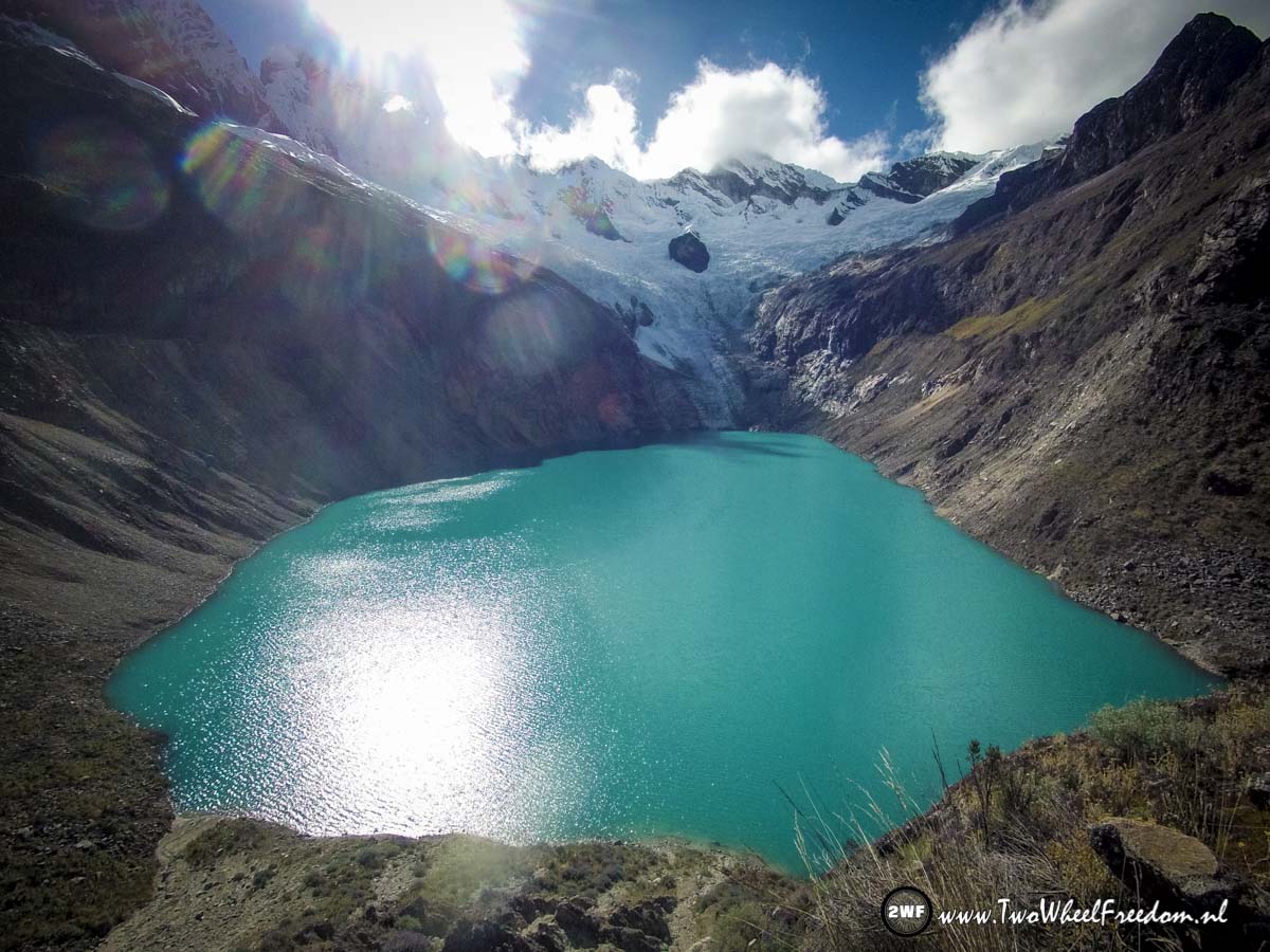
At the lake and the glacier still no sun.
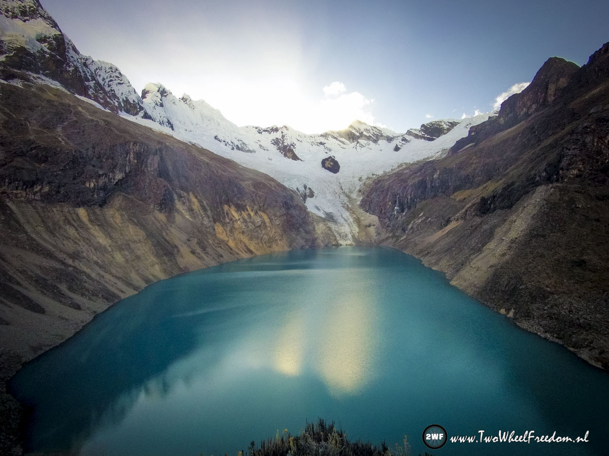

Still waiting for the sun to warm us up.

Whaaaahh..
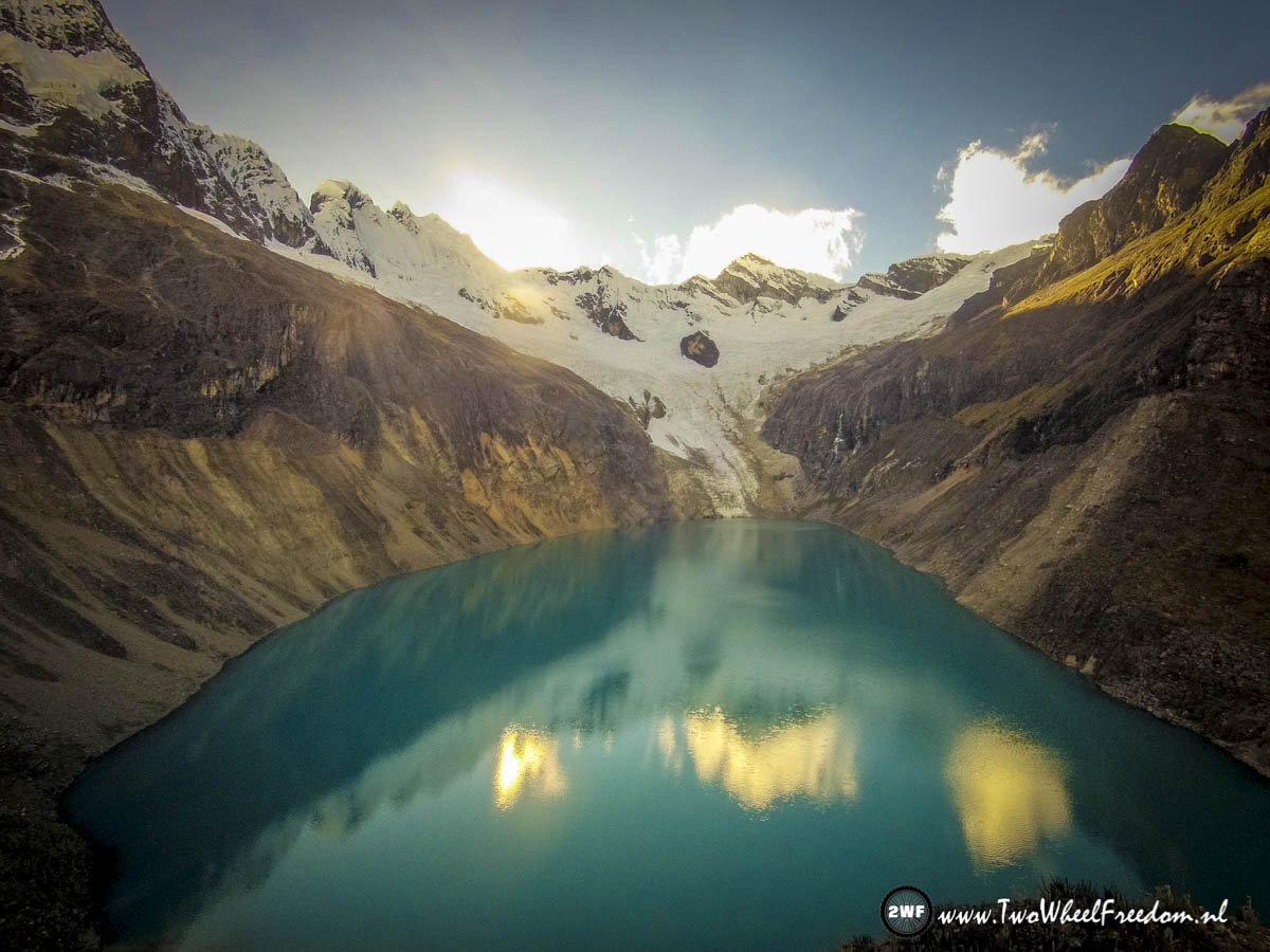


Yeah... finally the sun is up.

Warming up again after the freezing night.
Back down again.
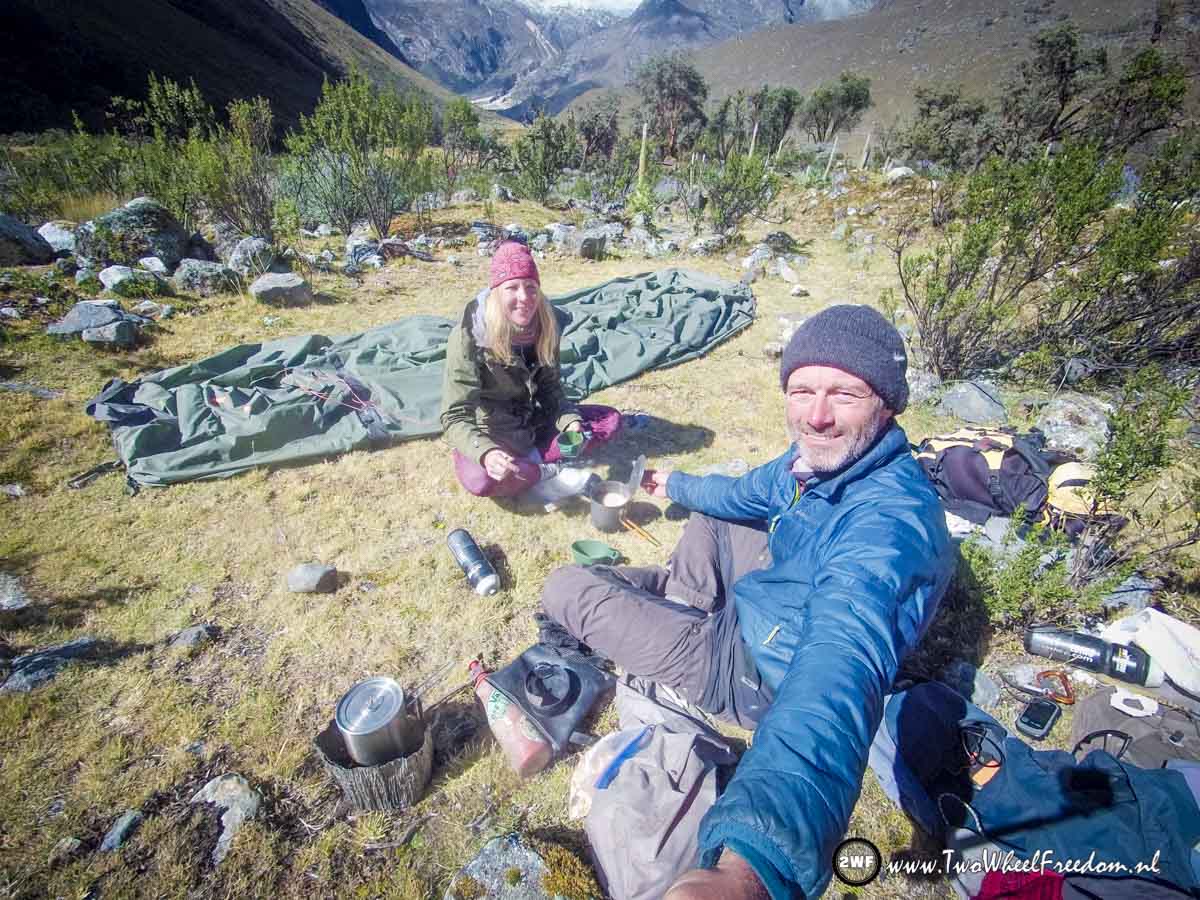
Back at the campground we make some hot oat meal and tea.
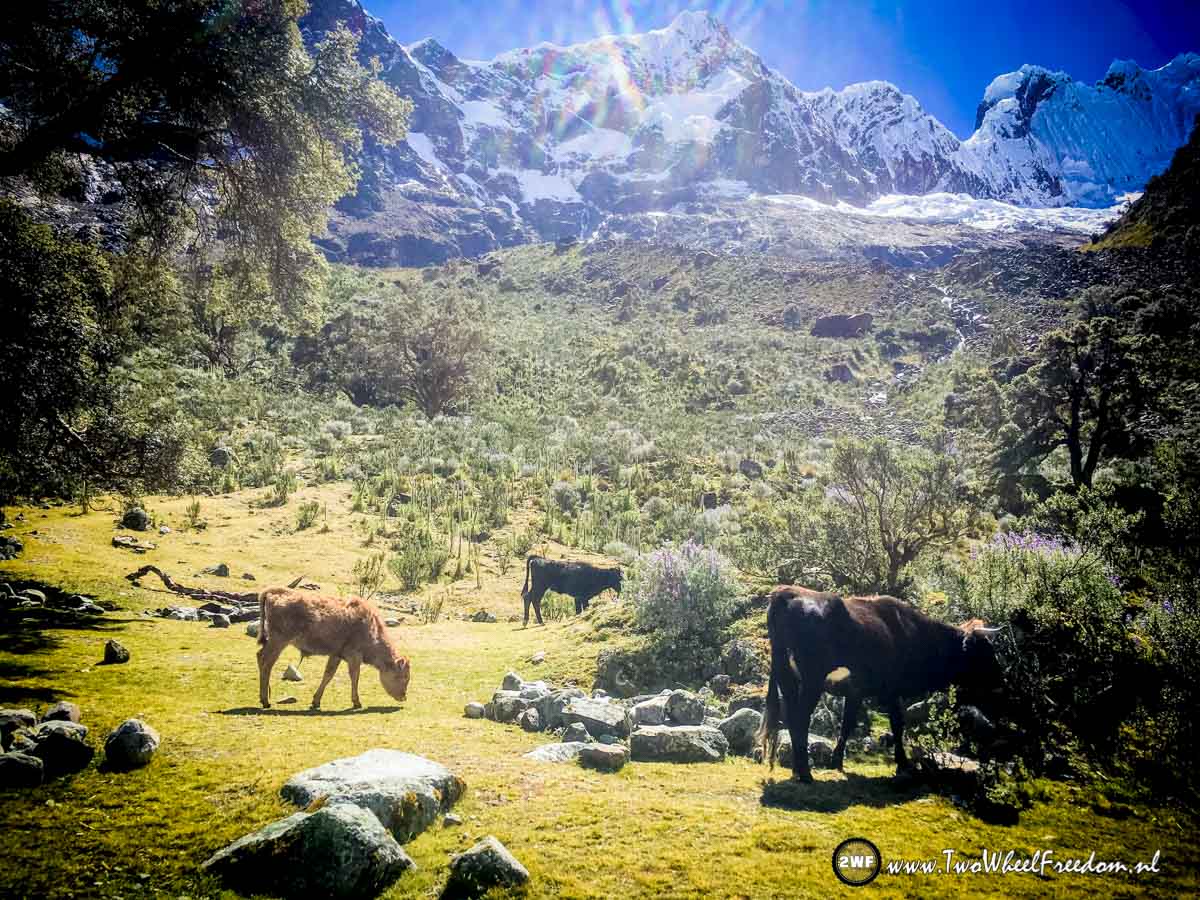
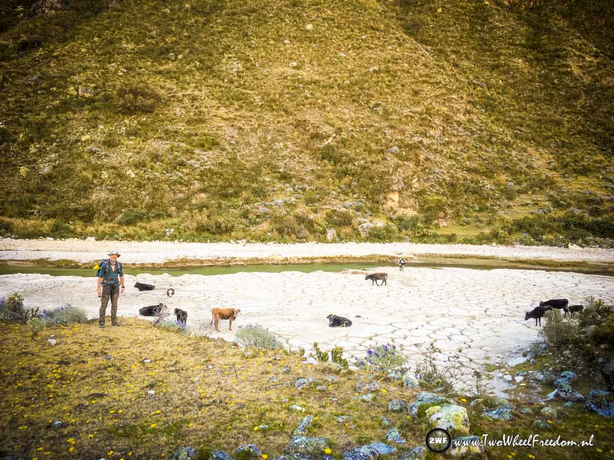
We start hiking again and pass some cows.


This is the valley we will follow the coming two days.
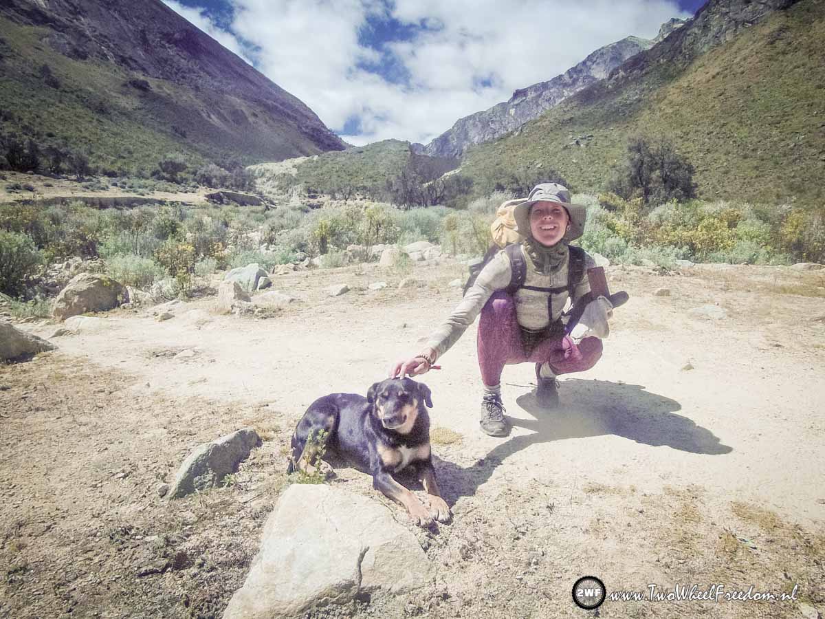
Kim making new friends again.
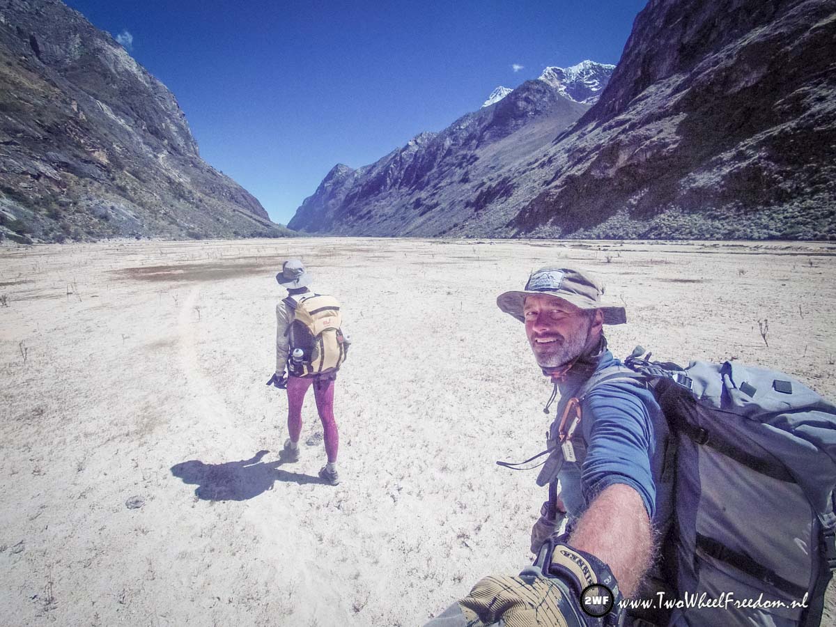
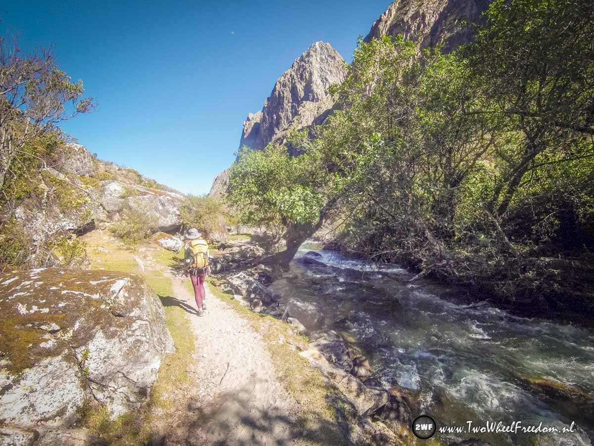
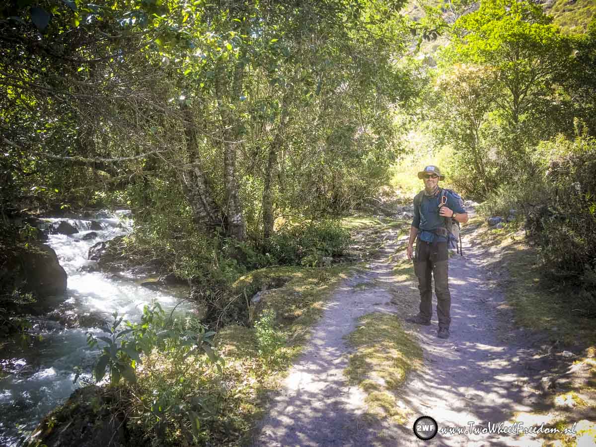
Flat and slowly going down, following the river.
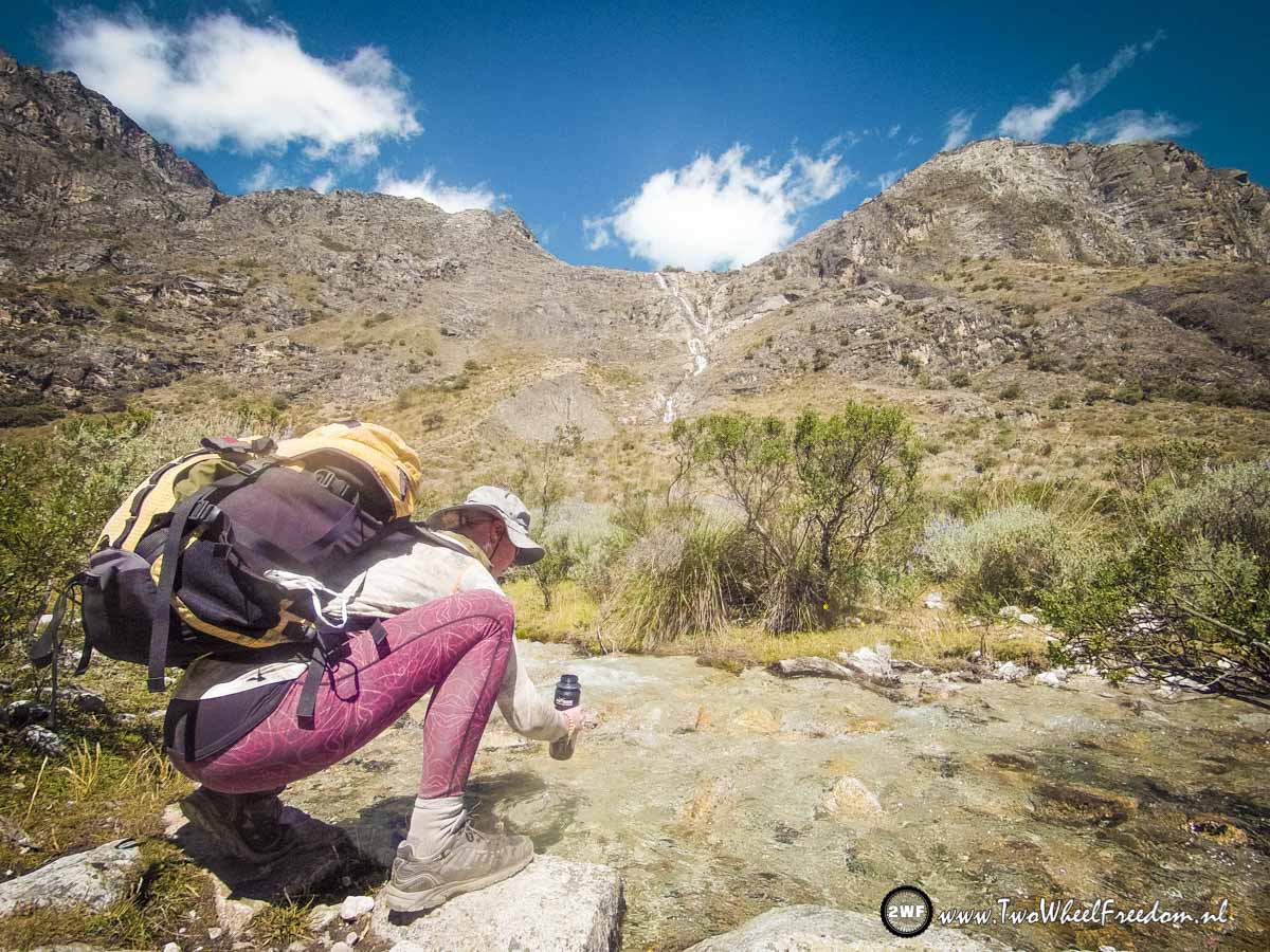
Fresh drinking water along the way. We don't drink from the river because all the animals walk in there aswell but the small side streams straight out of the mountains are safe for drinking.

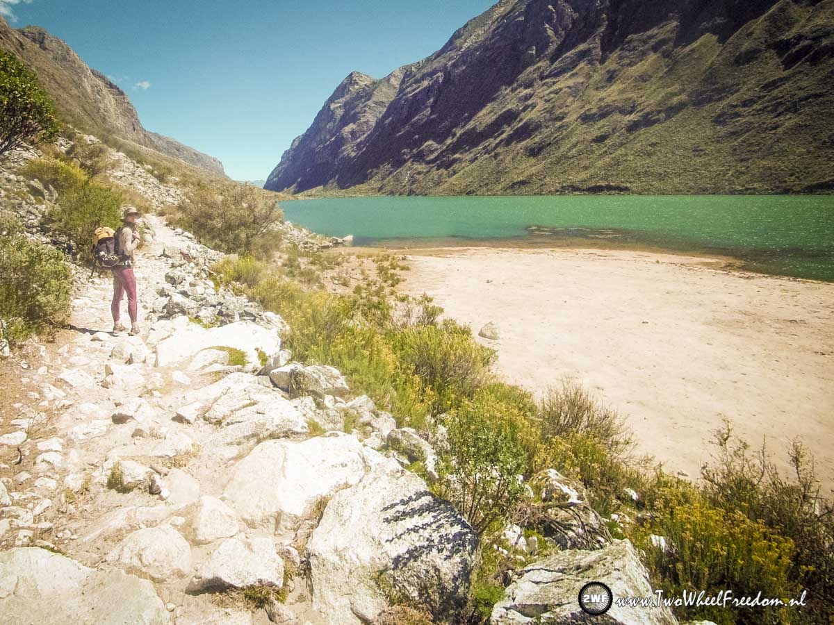
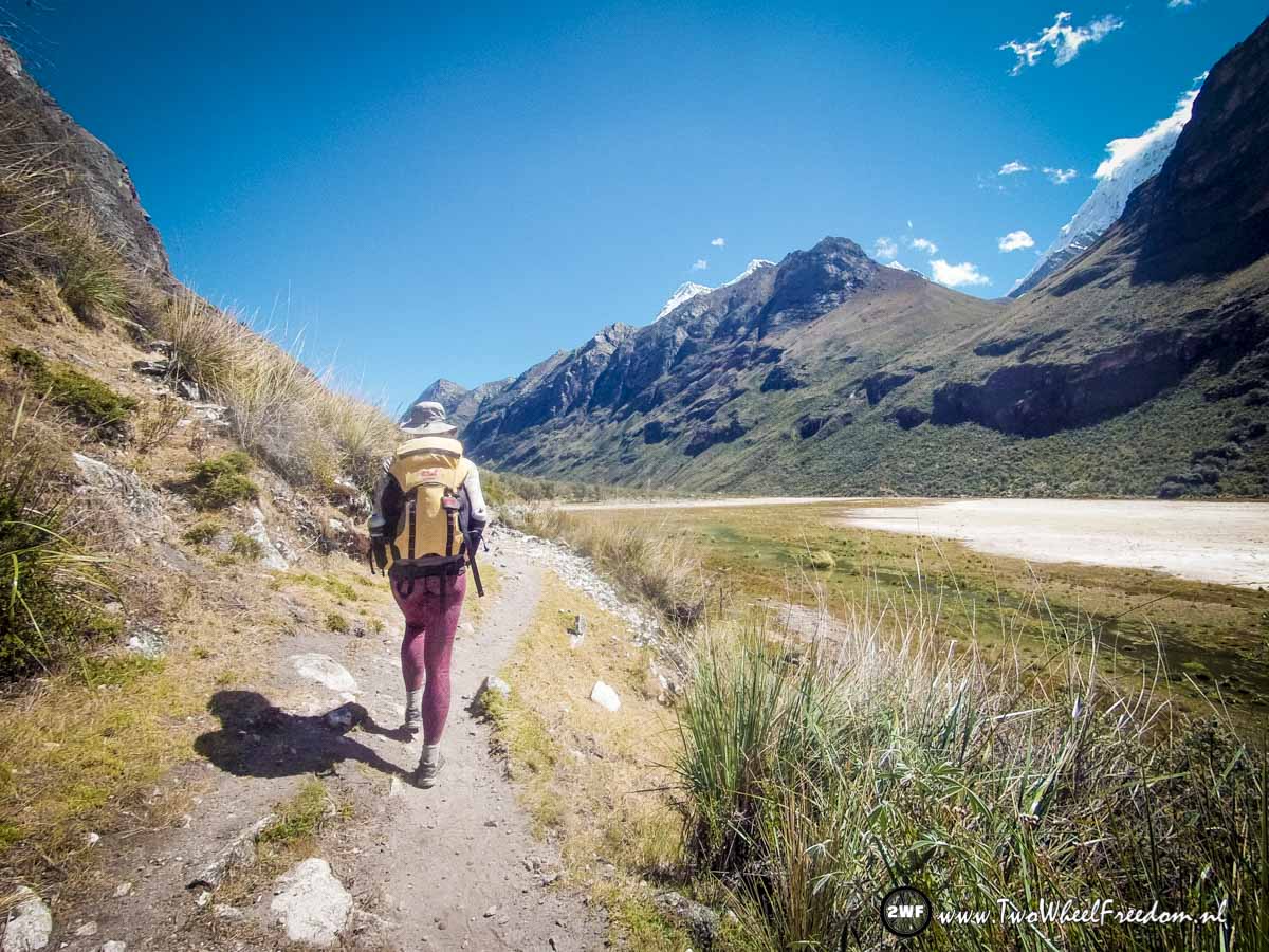
The first lake in the valley we pass.


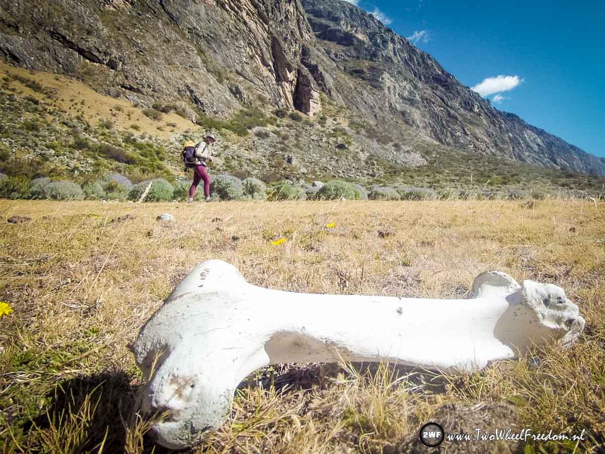
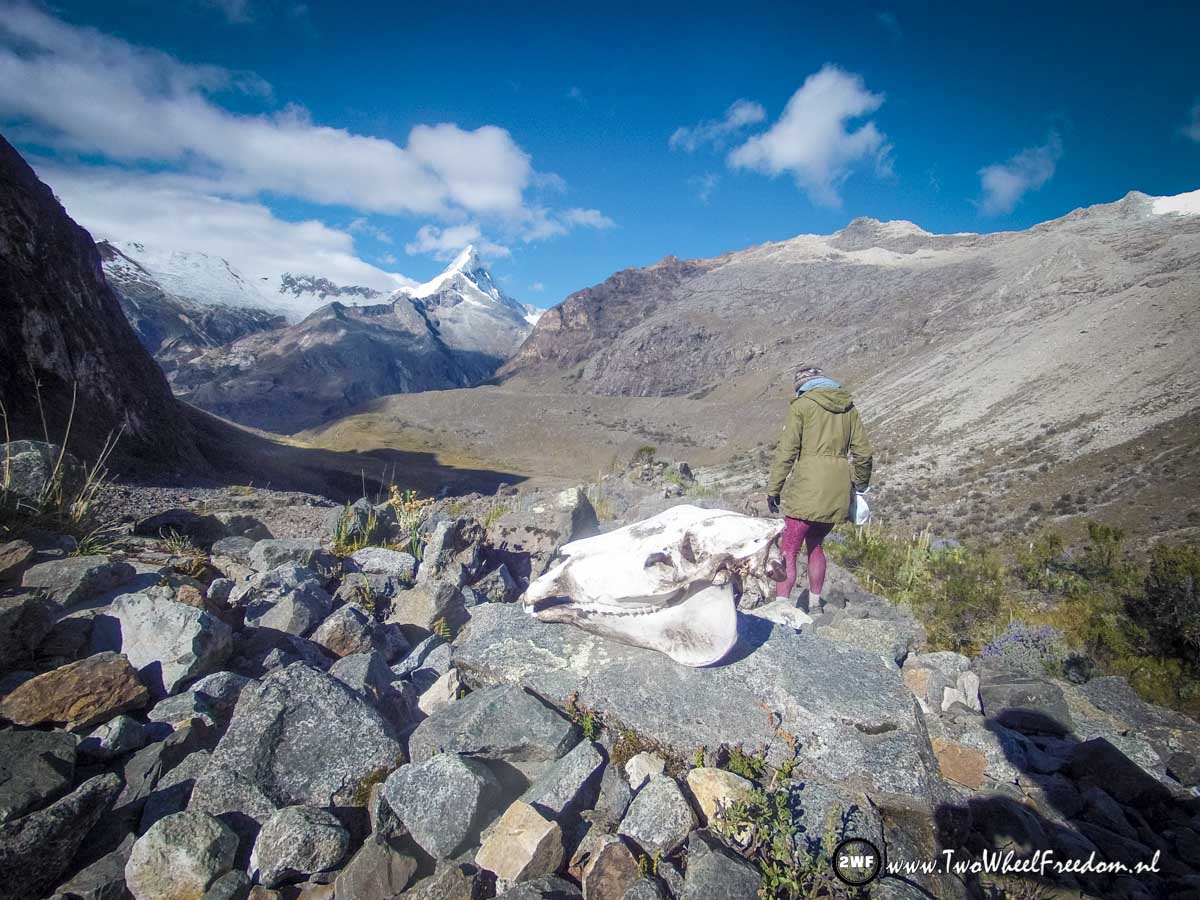
Some die on this trail 😉
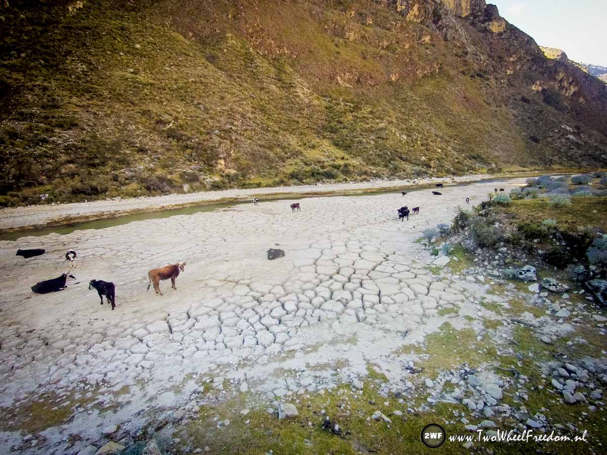
The river with cows on the side.
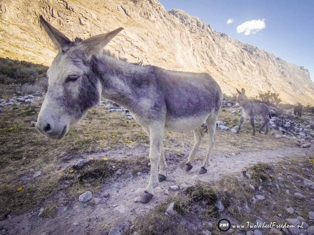
Donkey with her baby.
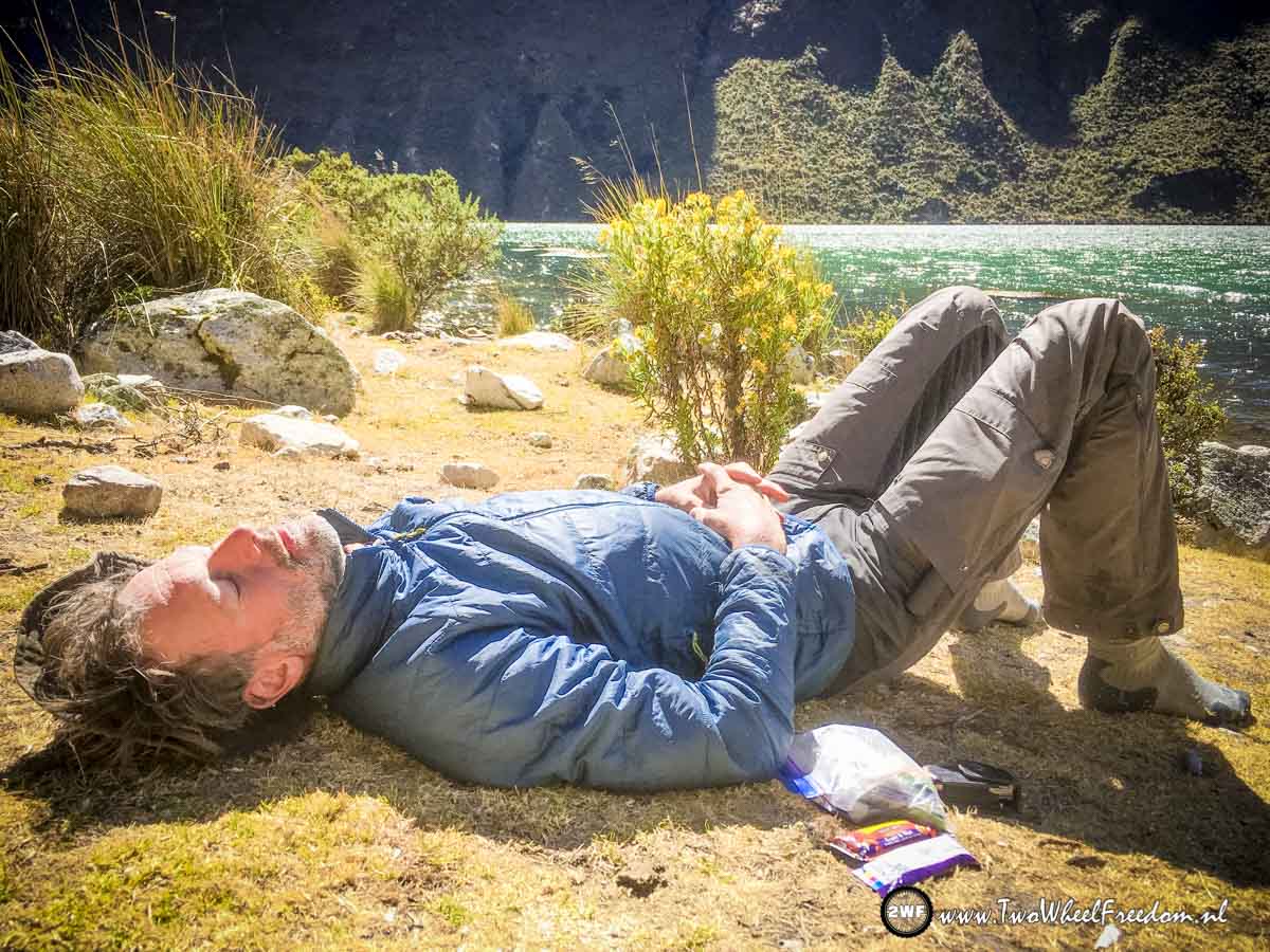
Having a nap...


Our campground for tonight is in the far distance.

Llamacorral campground.
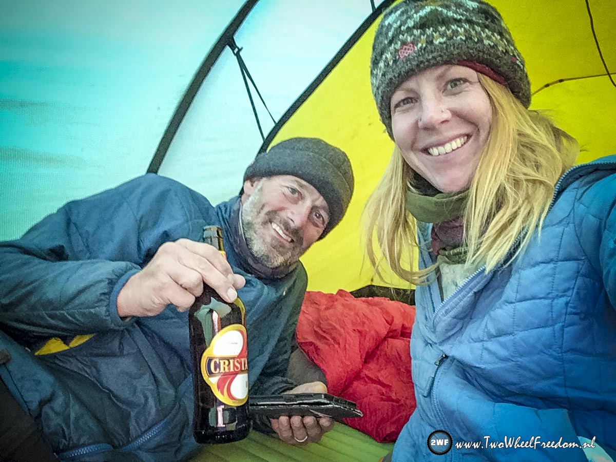
Having a cold beer.
The next morning noodle soup with tea.

Packing up again.
Donkeys running over the campground.
The start of our last day of hiking the Santa Cruz Trail.
The river we follow is getting bigger.
The cow didn't like us.
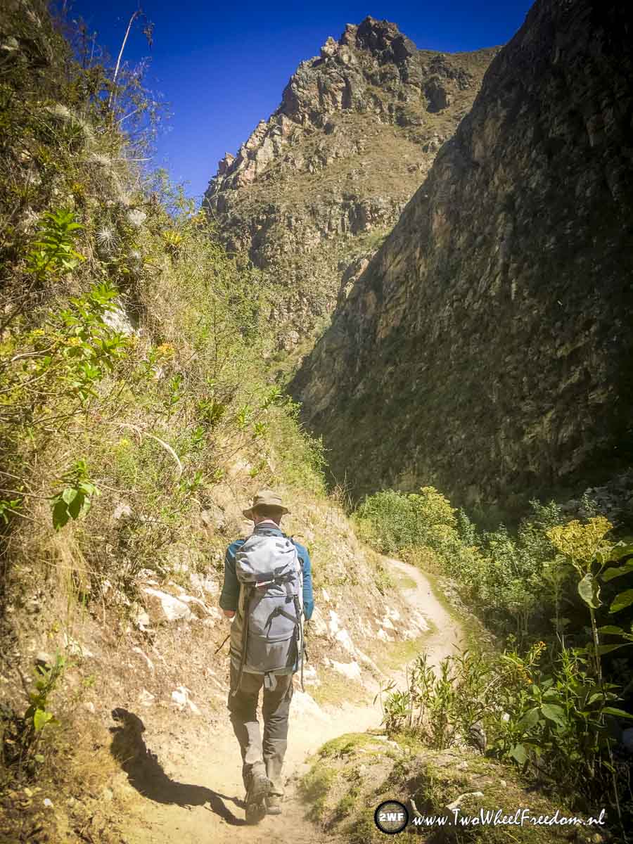
Going down, deeper into the valley.
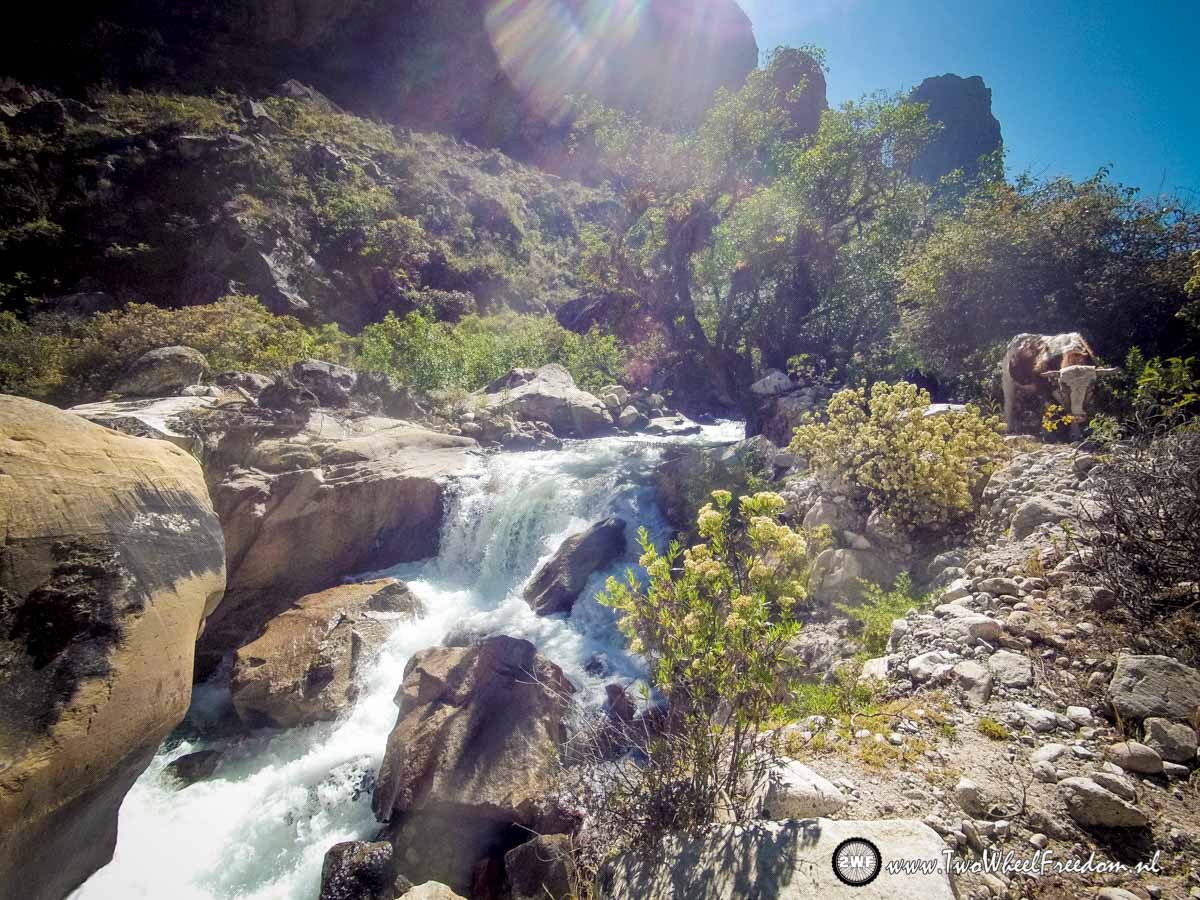
Still very clear water.
Nearly at the end of the trail 🙁
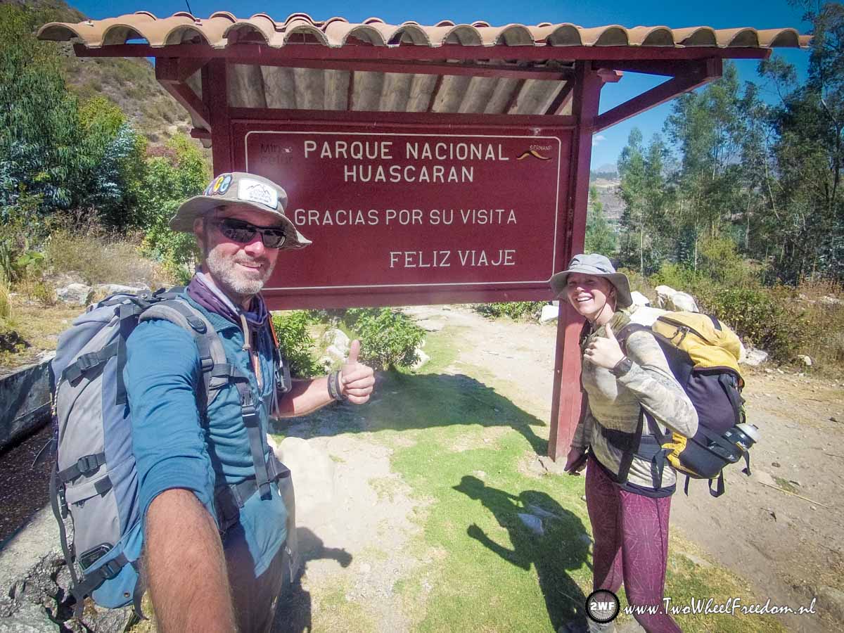
We made it;
4 days | 53KM | Lowest point 2900m | Highest point 4750m | Lowest temp. -5 C | Highest temp. +25 C |
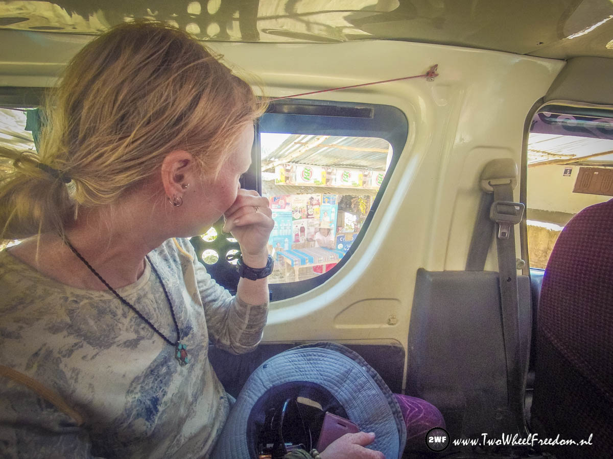
In the collectivo back to Caraz in 1.5 hours.
From Caraz we will cycle to Huaraz, a bigger, more touristic town, just one day cycling away from Caraz.
Bye.
Elstgeest
Wederom prachtig verslag en vele mooie foto.s .Geniet nog van vele fiets of wandel tochten . Gr van ons
Hans
Arja en Kim wat een mooie foto’s ook voor later doei
John Mercer
Hola from Mexico. We made it here with Jemma and we will be here for a year! I love side journeys like. This hike looks great. Beautiful scenery, good weather. We did trips like this in NZ, China, and Nepal. A few shorter ones too. Awesome, glad you’re having fun! John, Emily, and Jemma (Montrose, CO, USA)